The integration of remote sensing into modern agricultural practices has unlocked unprecedented capabilities for monitoring, analyzing, and optimizing the way food is grown. As global populations rise and environmental constraints tighten, leveraging advanced imaging technologies and data-driven strategies becomes essential for achieving truly sustainable agriculture. This article explores the core principles, key applications, and future directions of remote sensing in the context of impressive, resource-efficient farming methods.
Principles and Technologies of Remote Sensing
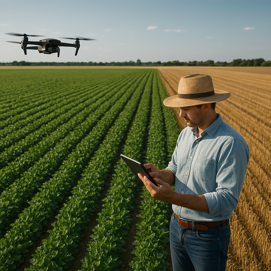
Remote sensing involves the acquisition of information about Earth’s surface without direct physical contact, employing various platforms such as satellites, drones, and aircraft. Sensors capture data across multiple spectral bands, enabling detailed analysis of vegetation, soil, and water conditions. The following technologies constitute the backbone of modern remote sensing systems:
- Multispectral imagery: Capturing discrete bands from visible to near-infrared wavelengths, allowing differentiation between healthy and stressed vegetation.
- Hyperspectral sensors: Collecting hundreds of narrow spectral bands, facilitating precise identification of crop species, nutrient deficiencies, and disease signatures.
- Thermal imaging: Measuring surface temperature variations to detect water stress, irrigation effectiveness, and microclimate dynamics.
- LIDAR (Light Detection and Ranging): Using laser pulses to map topography, canopy height, and biomass, supporting yield estimation and erosion risk assessment.
- RADAR (Radio Detection and Ranging): Penetrating cloud cover and canopy layers to monitor soil moisture and structural changes in vegetation.
Each modality contributes unique insights, and integrating multiple datasets through geospatial technology unlocks a comprehensive view of farm environments. Advanced calibration methods and atmospheric corrections ensure that raw sensor data translate into accurate, actionable information.
Applications for Precision Farming and Crop Management
By combining high-resolution imagery with robust analytical frameworks, remote sensing empowers farmers to adopt precision farming techniques that maximize output while minimizing resource consumption. Key applications include:
- Crop Health Monitoring: Vegetation indices such as NDVI (Normalized Difference Vegetation Index) and SAVI (Soil-Adjusted Vegetation Index) highlight areas of crop health variability, enabling timely intervention against pests, diseases, or nutrient deficiencies.
- Variable Rate Application: Data layers inform site-specific prescriptions for fertilizers, pesticides, and irrigation, optimizing input distribution and reducing environmental runoff.
- Yield Prediction and Forecasting: Historical and real-time data feed machine learning models to generate accurate yield prediction maps, guiding harvest planning and market strategies.
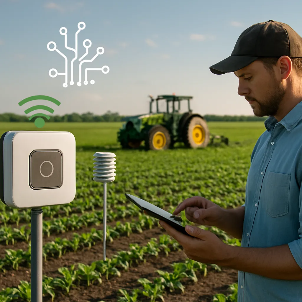
- Soil Mapping and Moisture Monitoring: Thermal and microwave sensors quantify soil moisture levels, while multispectral data reveal texture and organic matter variability, supporting water management and erosion control.
- Planting and Crop Selection: Geospatial analyses identify suitable zones for specific crop varieties based on topography, soil properties, and microclimate, enhancing resilience to climate variability.
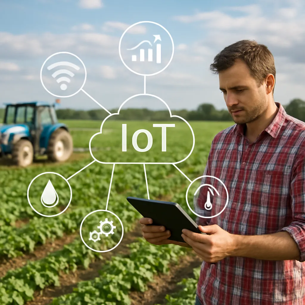
These applications collectively drive significant gains in resource efficiency, reducing waste and lowering greenhouse gas emissions. Integration with on-farm machinery through GPS and IoT devices closes the loop between sensing, decision-making, and field execution.
Environmental Stewardship and Sustainability Metrics
Beyond maximizing yields, remote sensing serves as a powerful tool for measuring and promoting environmental stewardship. By monitoring landscape-scale changes, stakeholders can assess the long-term impacts of agricultural activities on ecosystems. Notable contributions include:
- Land Cover Change Detection: Time-series imagery reveals patterns of deforestation, wetland drainage, and habitat fragmentation, informing conservation and restoration initiatives.
- Emission Tracking: Thermal and optical sensors estimate evapotranspiration rates and biomass burning events, enabling calculation of carbon fluxes and nitrogen release from soils.
- Biodiversity Support: Mapping the spatial distribution of non-crop vegetation—hedgerows, buffer strips, and riparian zones—helps design wildlife corridors and pollinator habitats.
- Water Resource Management: Remote sensing quantifies surface water extent, reservoir levels, and irrigation schedules, supporting equitable allocation and drought resilience.
- Soil Health Indicators: Reflectance signatures can infer organic matter levels and salinity risks, directing practices that maintain long-term fertility and structure.
By coupling these metrics with farm-level economic assessments, decision makers can adopt strategies that balance productivity with conservation, enhancing both profitability and ecological integrity.
Challenges and Future Directions
Despite remarkable advancements, the widespread adoption of remote sensing in agriculture faces several hurdles. Addressing these challenges will determine the trajectory of innovation in the coming years.
Data Volume and Processing
High-resolution imagery generates massive datasets that demand robust data analytics and cloud computing resources. Farmers and agronomists require user-friendly platforms to process, visualize, and interpret sensor outputs without extensive technical training.
Calibration and Standardization
Variability among sensors, platforms, and environmental conditions necessitates rigorous calibration protocols. Establishing global standards for data collection, storage, and sharing will foster interoperability and facilitate collaborative research.
Cost and Accessibility
Although drone-based surveys are increasingly affordable, satellite data services and advanced sensors can still pose financial barriers for smallholders. Public–private partnerships and open-access initiatives hold promise for democratizing access to critical geospatial insights.
Integration with Emerging Technologies
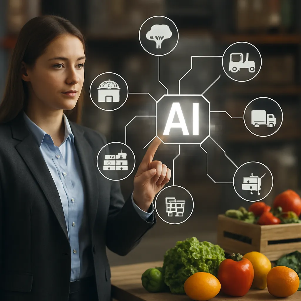
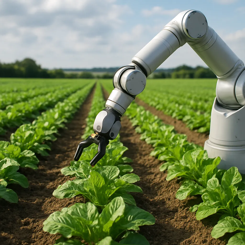
Blending remote sensing with robotics, blockchain, and artificial intelligence will create holistic farm management ecosystems. Autonomous vehicles equipped with real-time imaging could perform targeted interventions, while distributed ledgers ensure data integrity and traceability across supply chains.
Capacity Building and Education
Empowering farmers, extension workers, and policy makers with the skills to interpret and apply remote sensing outputs is essential. Investing in training programs, online courses, and community-based demonstration projects will accelerate adoption and foster local innovation.
As global challenges intensify, the synergy between geospatial insights and on-the-ground expertise will define the next wave of agricultural transformation. Embracing these trends will not only bolster food security but also safeguard the natural resources upon which future generations depend.