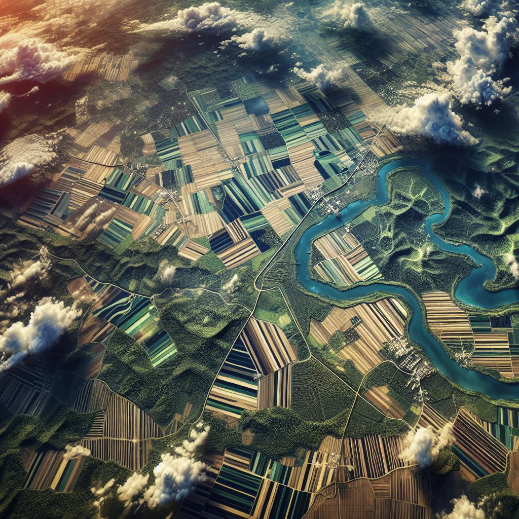
Satellite imagery has revolutionized precision farming and crop monitoring, offering unprecedented insights and efficiencies to modern agriculture. By leveraging advanced technologies, farmers can now make data-driven decisions that enhance productivity, reduce waste, and promote sustainable practices.
The Role of Satellite Imagery in Precision Farming
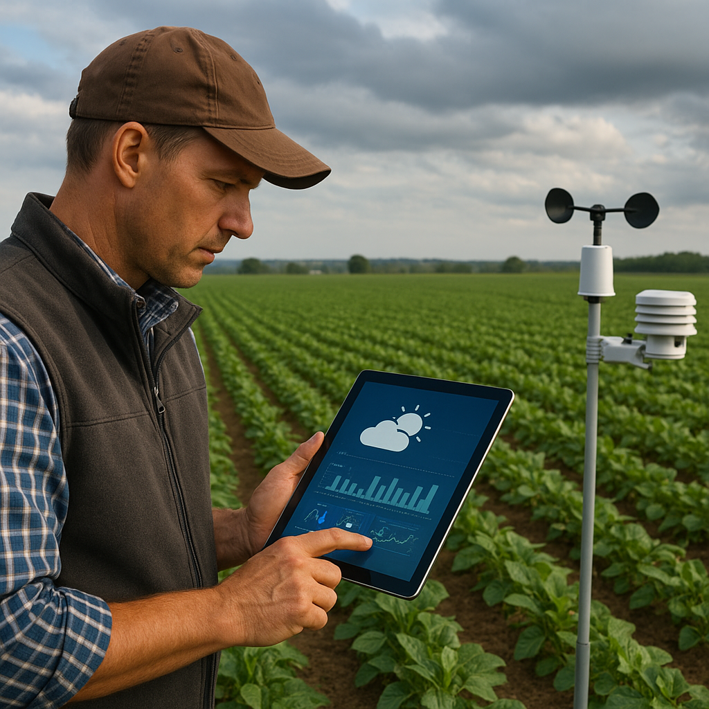
Precision farming, also known as precision agriculture, involves the use of technology to monitor and manage field variability in crops. Satellite imagery plays a crucial role in this process by providing high-resolution images that capture detailed information about the land and crops. These images are analyzed to assess various factors such as soil health, crop growth, and pest infestations.
One of the primary benefits of using satellite imagery in precision farming is the ability to monitor large areas of farmland efficiently. Traditional methods of crop monitoring, such as manual inspections, are time-consuming and labor-intensive. In contrast, satellite imagery can cover vast expanses of land in a fraction of the time, providing farmers with timely and accurate data.
Moreover, satellite imagery enables farmers to implement site-specific management practices. By identifying areas of the field that require different treatments, such as varying levels of irrigation or fertilization, farmers can optimize resource use and improve crop yields. This targeted approach not only enhances productivity but also minimizes environmental impact by reducing the overuse of chemicals and water.
Data Collection and Analysis
The process of using satellite imagery for precision farming begins with data collection. Satellites equipped with advanced sensors capture images of the Earth’s surface at regular intervals. These images are then processed and analyzed using specialized software to extract valuable information about the crops and soil.
One of the key metrics derived from satellite imagery is the Normalized Difference Vegetation Index (NDVI). NDVI measures the health and vigor of vegetation by comparing the reflectance of different wavelengths of light. Healthy, photosynthetically active plants reflect more near-infrared light and less visible light, resulting in higher NDVI values. By analyzing NDVI data, farmers can assess crop health, identify stress areas, and make informed decisions about interventions.
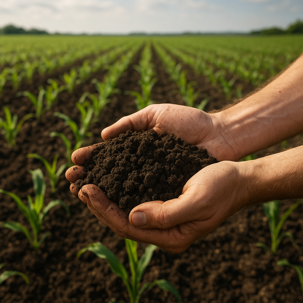
In addition to NDVI, satellite imagery can provide information on soil moisture levels, temperature, and topography. These data points are crucial for understanding the conditions that affect crop growth and development. For example, soil moisture data can help farmers optimize irrigation schedules, ensuring that crops receive the right amount of water at the right time.
Applications of Satellite Imagery in Crop Monitoring
Satellite imagery has a wide range of applications in crop monitoring, from early detection of pest infestations to assessing the impact of weather events. By providing real-time data, satellite imagery allows farmers to respond quickly to emerging issues and mitigate potential losses.
Pest and Disease Management
One of the most significant challenges in agriculture is managing pests and diseases that can devastate crops. Early detection is critical for effective pest and disease management, and satellite imagery offers a powerful tool for this purpose. By analyzing changes in vegetation patterns and color, satellite images can help identify areas affected by pests or diseases before they become widespread.
For instance, a sudden decline in NDVI values in a specific area may indicate the presence of a pest infestation. Farmers can then conduct targeted inspections and apply appropriate treatments to control the spread. This proactive approach not only protects crop yields but also reduces the need for broad-spectrum pesticides, promoting more sustainable farming practices.
Weather Impact Assessment
Weather events such as droughts, floods, and storms can have a significant impact on crop health and productivity. Satellite imagery provides valuable data for assessing the extent of damage caused by these events and planning recovery strategies. For example, after a flood, satellite images can help identify areas where crops have been submerged and assess the potential for recovery.
Additionally, satellite imagery can be used to monitor the effects of prolonged drought on crop health. By tracking changes in soil moisture levels and vegetation indices, farmers can make informed decisions about irrigation and other interventions to mitigate the impact of drought conditions.
Yield Prediction and Harvest Planning
Accurate yield prediction is essential for effective harvest planning and market forecasting. Satellite imagery provides valuable data for estimating crop yields by analyzing factors such as plant density, biomass, and growth stages. By combining satellite data with other information, such as weather forecasts and historical yield data, farmers can make more accurate yield predictions and plan their harvests accordingly.
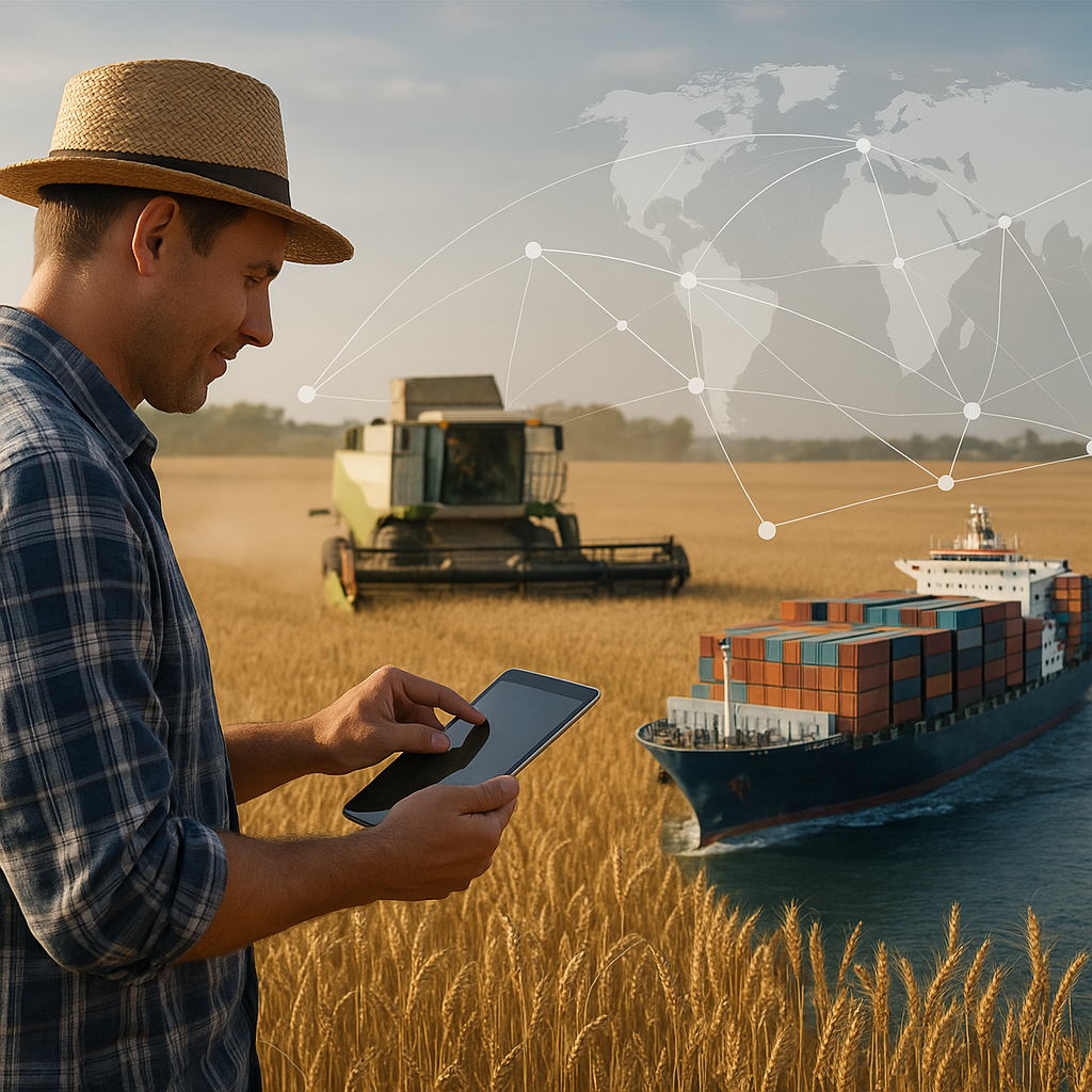
Yield prediction models based on satellite imagery can also help farmers optimize their supply chain and marketing strategies. By knowing the expected yield in advance, farmers can make informed decisions about storage, transportation, and sales, reducing post-harvest losses and maximizing profits.
Challenges and Future Prospects
While satellite imagery offers numerous benefits for precision farming and crop monitoring, there are also challenges to consider. One of the primary challenges is the cost of acquiring and processing satellite data. High-resolution images can be expensive, and the specialized software required for analysis may also involve significant investment.
Another challenge is the need for technical expertise to interpret satellite data accurately. Farmers may require training or support from agronomists and data analysts to make the most of the information provided by satellite imagery. Additionally, factors such as cloud cover and atmospheric conditions can affect the quality of satellite images, potentially limiting their usefulness in certain situations.
Despite these challenges, the future prospects for satellite imagery in agriculture are promising. Advances in satellite technology, such as the development of smaller, more affordable satellites, are making high-resolution imagery more accessible to farmers. Additionally, improvements in data processing and machine learning algorithms are enhancing the accuracy and usability of satellite-derived information.
As the agricultural industry continues to embrace digital transformation, satellite imagery will play an increasingly important role in driving innovation and sustainability. By providing farmers with the tools and insights they need to make data-driven decisions, satellite imagery is helping to shape the future of agriculture and ensure food security for a growing global population.
In conclusion, the use of satellite imagery for precision farming and crop monitoring represents a significant advancement in modern agriculture. By offering detailed, real-time data on crop health, soil conditions, and environmental factors, satellite imagery enables farmers to optimize their practices, improve yields, and promote sustainability. As technology continues to evolve, the potential applications of satellite imagery in agriculture will only expand, paving the way for a more efficient and resilient agricultural sector.
