The fusion of advanced spaceborne sensors and on-the-ground expertise is transforming the way we nurture the world’s food supply. From orbit, cutting-edge instruments scan vast tracts of farmland, enabling farmers and agronomists to make data-driven decisions with unprecedented accuracy. This synergy of technology and agronomy is setting a new benchmark for productivity, resource efficiency, and environmental stewardship.
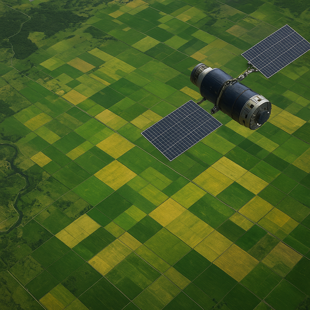
Enhanced Observation with Satellite Imagery
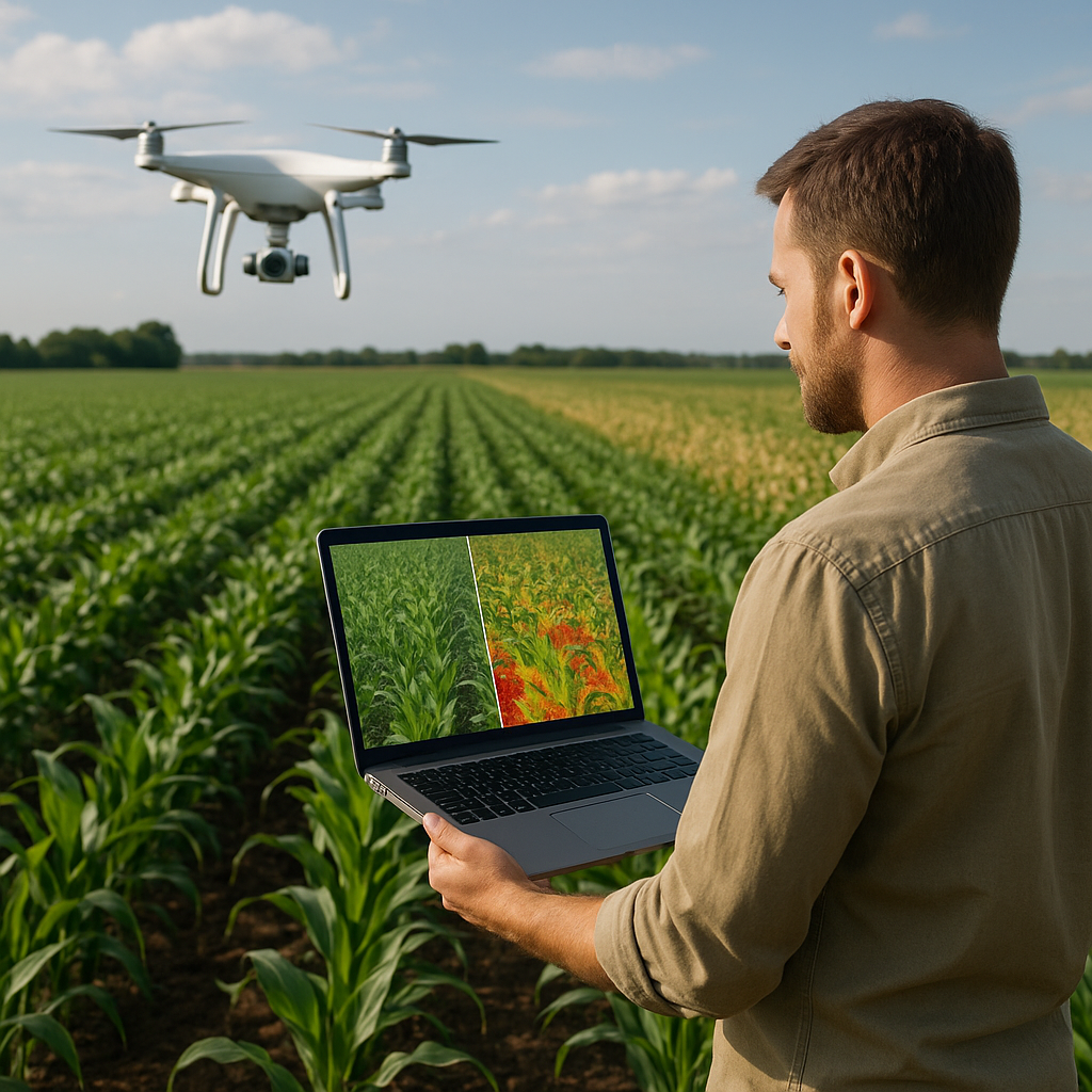
Modern satellites orbit the planet equipped with multispectral cameras, radar instruments and LiDAR sensors. These platforms deliver a continuous stream of high-resolution images, capturing subtle variations in plant health, soil moisture, and nutrient stress. By harnessing this wealth of data, agronomists can detect emerging issues long before visible symptoms appear. The result is a proactive approach to field management that drastically reduces crop loss and optimizes input usage.
Multispectral and Hyperspectral Data
Multispectral sensors capture data in a handful of broad wavelength bands, often including visible, near-infrared, and shortwave infrared channels. In contrast, hyperspectral instruments divide the spectrum into hundreds of narrow, contiguous bands, revealing complex biochemical signatures in vegetation. This depth of information enables precise identification of nutrient deficiencies, pest infestations, and disease outbreaks. Farmers can then apply targeted treatments only where needed, minimizing waste and environmental impact.
- Broad-spectrum indices for general biomass estimation
- High-resolution band combinations for stress detection
- Custom algorithms calibrated to specific crop types
NDVI and Vegetation Indices
The Normalized Difference Vegetation Index (NDVI) remains a cornerstone for assessing greenness and vigor in fields. By measuring the contrast between red and near-infrared reflectance, NDVI maps reveal density and photosynthetic activity. Beyond NDVI, advanced indices—such as the Enhanced Vegetation Index (EVI) and Red Edge Position (REP)—offer refined sensitivity to canopy structure and chlorophyll content. These metrics fuel early warning systems that alert stakeholders to areas requiring attention.
Integration with Farm Management Systems
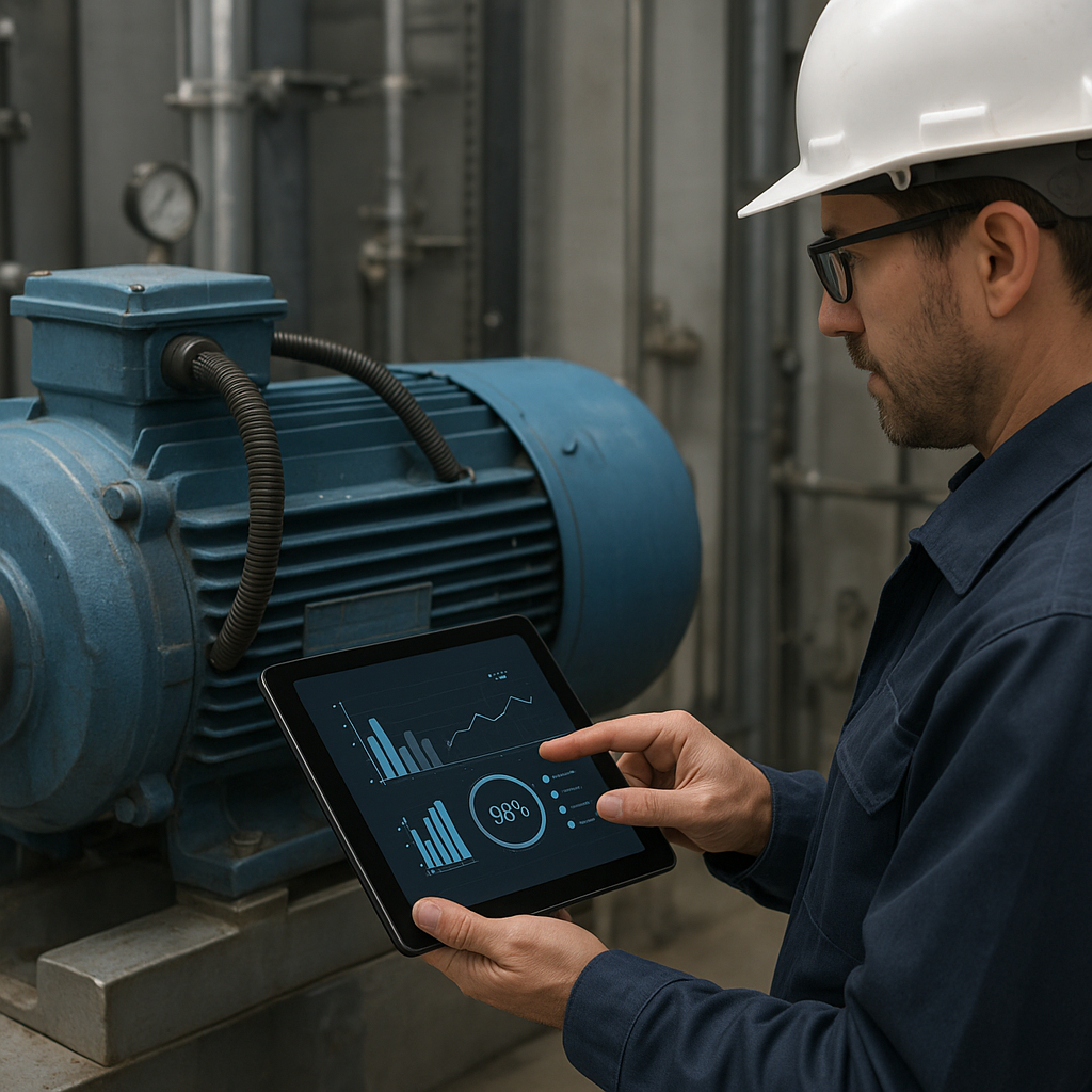
Incorporating remote imagery into daily operations demands seamless data flow from satellites to decision platforms. Precision agriculture software ingests orbital data, field sensor readings, and historical yield maps to build an integrated dashboard. Farmers gain a holistic view of each parcel, empowered to fine-tune irrigation schedules, fertilizer applications, and crop rotations based on real-time insights.
Connectivity advancements—such as low-earth-orbit constellations and 5G networks—ensure timely delivery of terabytes of imagery to rural communities. Cloud-based analytics process vast datasets, turning raw pixels into actionable recommendations within hours. This interplay of data analytics and automated alerts transforms routine field scouting into a predictive, high-efficiency practice.
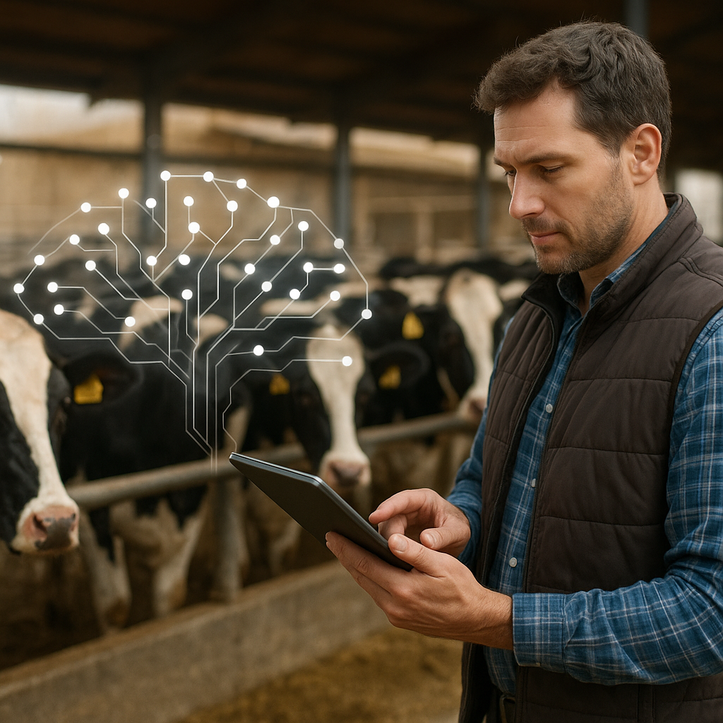
Decision Support Tools
Decision support systems (DSS) leverage machine learning models trained on decades of agronomic experiments and satellite archives. By integrating weather forecasts, soil composition maps, and economic parameters, DSS platforms can suggest:
- Optimal planting windows for different crop varieties
- Variable-rate seeding patterns to match soil fertility
- Precise application rates for fungicides, herbicides, and fertilizers
These automated insights allow farmers to maximize yield potential while conserving water and chemical inputs.
Applications and Future Directions
From smallholder farms to expansive commercial estates, the impact of orbital observation extends across all scales. In developing regions, low-cost satellite services are bridging the technology gap, enabling cooperatives to coordinate resource sharing and disaster response. On a global stage, continuous monitoring feeds into early warning systems that anticipate famines and inform policy decisions.
Emerging trends include the integration of thermal sensors for soil moisture mapping, synthetic aperture radar (SAR) for all-weather surveillance, and on-demand snapshot imagery during critical phenological stages. Cloud-native platforms employing artificial intelligence will soon automate anomaly detection, parcel delineation, and harvest forecasting with minimal human intervention.
Researchers are exploring swarm constellations of microsatellites to achieve sub-daily revisit rates. This rapid-refresh capability will capture transient events such as flooding, frost, and pest caravans in near real time. Combined with edge computing at ground stations, farmers could receive localized alerts within minutes, rather than hours or days.
Challenges and Solutions
Despite its promise, satellite-based crop surveillance faces hurdles in data accessibility, resolution limitations, and integration complexity. Small farms may lack the digital infrastructure to handle large geospatial datasets, while high-end imagery can come with steep subscription costs. Bridging these gaps requires collaborative frameworks that share platform costs across communities and leverage open-source tools.
Interoperability standards are also critical. Open-data initiatives, such as the Copernicus and Landsat programs, provide free imagery—but users must navigate diverse file formats and processing chains. Efforts to unify data pipelines and disseminate user-friendly toolkits are underway, fostering wider adoption of remote sensing insights.
Finally, training and extension services remain indispensable. Empowering agronomists, cooperatives, and extension agents with hands-on workshops ensures that cutting-edge satellite observations translate into practical field interventions. By addressing technical, economic, and educational barriers, the agricultural sector can fully capitalize on spaceborne intelligence.
As the world’s population grows and climate pressures intensify, leveraging orbital assets to nurture croplands is no longer a futuristic vision—it is a decisive strategy for global food security. The fusion of precision tools, robust networks, and intuitive platforms heralds a new era in sustainable production, where data-driven stewardship ensures bountiful harvests for generations to come.