The advent of advanced 3D soil mapping heralds a new era in impressive agriculture. By capturing the complex vertical and horizontal variability of soil characteristics, farmers can unlock hidden insights that drive superior farm productivity and sustainable resource use. This article explores the transformative impact of three-dimensional soil data on modern farming systems, examining key technologies, management strategies, real-world successes, and the promising horizon ahead.
Fundamentals of 3D Soil Mapping Technologies
The transition from traditional two-dimensional soil surveys to 3D imaging marks a paradigm shift. Conventional methods often rely on sparse sampling grids, leaving critical variations undetected. In contrast, 3D soil mapping integrates multiple data streams through sophisticated sensor networks and modelling algorithms, producing comprehensive volumetric representations of subsurface properties.
Geophysical and Proximal Sensors
- Ground-penetrating radar (GPR) reveals stratification, moisture content, and compaction layers.
- Electromagnetic induction (EMI) detects variations in soil conductivity, indicating texture and salinity zones.
- Electrical resistivity tomography (ERT) provides high-resolution profiles of water flow paths.
By fusing these measurements with geostatistical techniques like kriging and machine learning models, agronomists generate detailed 3D maps illustrating:
- Soil texture gradients (sand, silt, clay proportions)
- Organic matter distribution
- Nutrient hotspots or deficiencies (nitrogen, phosphorus, potassium)
- Subsurface obstacles (rock fragments, hardpans)
Drone and Satellite Integration
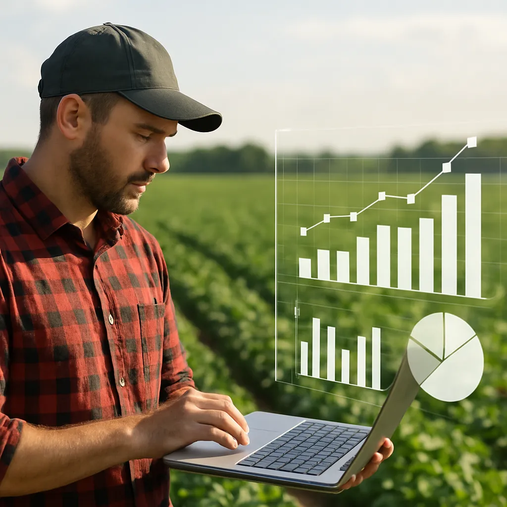
Aerial platforms equipped with multispectral and thermal sensors complement ground-based instruments. By correlating spectral reflectance patterns to subsurface features, these tools enhance the spatial continuity of 3D models across vast acreages. Data analytics pipelines then process terabytes of input, delivering actionable maps directly to field managers’ tablets or cloud dashboards.
Optimizing Resource Management Through Precision Insights
Armed with three-dimensional soil maps, farmers can implement finely tuned agronomic interventions. The following strategies illustrate how 3D insights maximize efficiency, reduce inputs, and boost yields:
Variable-Rate Fertilization
- Identify microzones with nutrient management challenges to apply customized fertilizer blends.
- Minimize environmental runoff by avoiding blanket applications that ignore subsurface heterogeneity.
- Quantify dosage adjustments in real time based on moisture-retention profiles and root zone depth.
Targeted Irrigation Scheduling
- Leverage 3D moisture maps to avoid over-irrigation in high-retention pockets.
- Optimize droplet placement to support uniform crop emergence and growth.
- Conserve water resources by aligning irrigation events with crop-specific uptake rates.
Soil Amendment and Tillage Planning
- Pinpoint compacted layers requiring subsoiling to enhance root penetration and gas exchange.
- Distribute organic amendments to areas with depleted organic matter, revitalizing microbial activity.
- Reduce fuel consumption and labor by tailoring equipment passes to zones that truly need tillage.
Real-World Applications and Success Stories
Across varied agricultural systems, 3D soil mapping has delivered measurable gains in productivity and profitability. Below are illustrative case studies demonstrating the versatility of this technology:
Vineyard Management in Mediterranean Climates
A grape producer implemented a 3D mapping approach to resolve uneven vine vigor and fruit quality. By overlaying yield data with subsurface water-holding maps, the team:
- Designed bespoke irrigation circuits, boosting uniformity of grape ripening.
- Redistributed compost to sandy pockets, improving soil structure and nutrient retention.
- Achieved a 15% increase in premium wine-grade output while cutting water use by 20%.
Field Crop Intensification in the Midwest
Corn and soybean growers harnessed high-resolution 3D profiles to tackle unpredictable clay lens formations that impeded drainage. Outcomes included:
- A 10% uplift in average yield across pivot-irrigated plots.
- Reduction of tile drainage installation costs by pre-locating critical zones.
- Lowered greenhouse gas emissions via precise nitrogen applications.
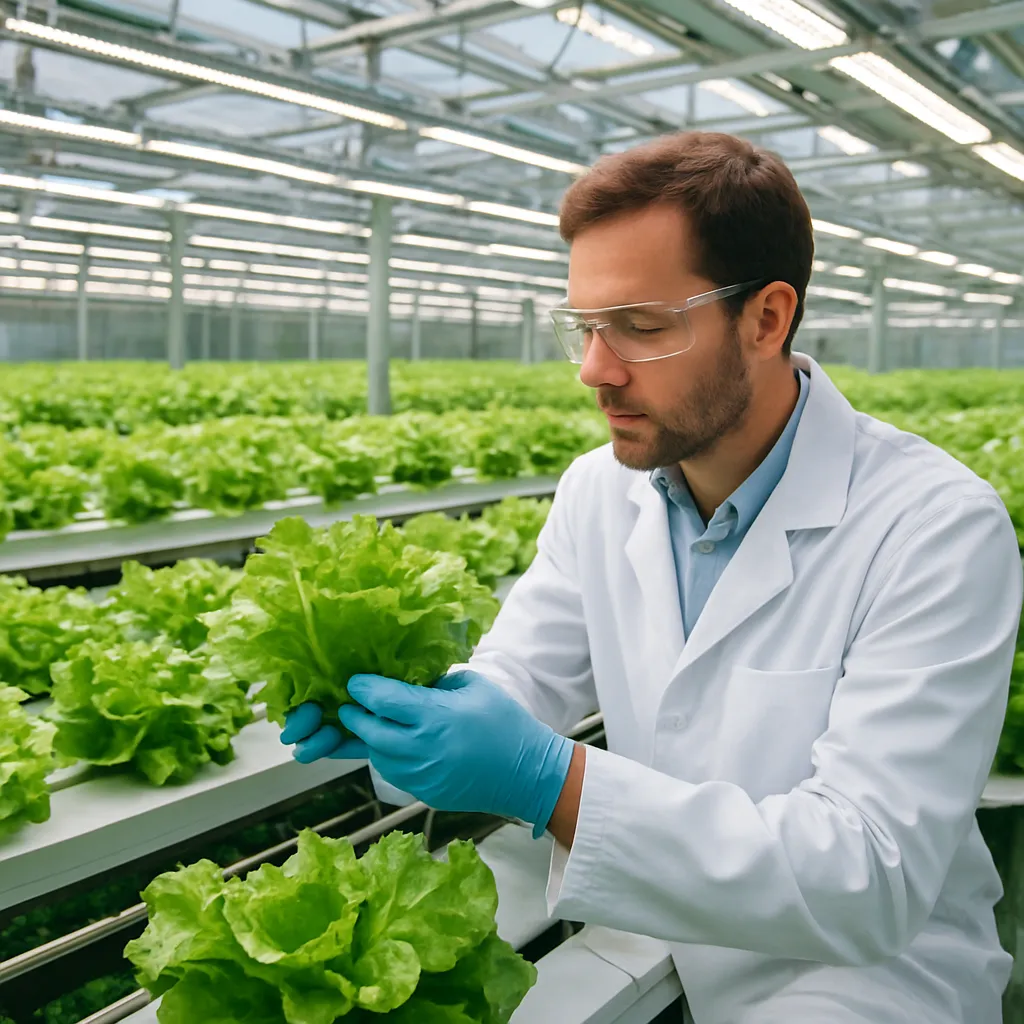
Organic Vegetable Production in Southeast Asia
Smallholder farmers adopted portable EMI scanners to map soil salinity and texture shifts on terraced fields. The insights enabled:
- Segregation of crop rotations to match root depth requirements with soil layers.
- Targeted lime applications in acidic pockets, elevating pH to optimal ranges for vegetable growth.
- A 25% spike in marketable harvest weight and improved consumer appeal.
Emerging Trends and Future Horizons
The trajectory of 3D soil mapping continues to extend far beyond current achievements. Ongoing research and technological advances promise even greater integration and accessibility:
AI-Driven Predictive Modeling
- Deep learning frameworks that automatically detect soil patterns from multi-source inputs.
- Forecasting of long-term soil health trajectories under diverse cropping schemes.
- Automated prescription generation for real-time farm machinery deployment.
Mobile and In-Field Analytics
- Handheld probes with embedded processors running on-device mapping algorithms.
- Offline capabilities enabling smallholder adoption in regions with limited connectivity.
- Integration with participatory platforms to crowdsource soil observations from farming communities.
Enhanced Environmental Stewardship
Beyond productivity, 3D soil mapping underpins more responsible stewardship of land resources. By illuminating subsurface carbon stocks, erosion risks, and water flux dynamics, this approach aligns intensive agriculture with broader goals of climate resilience and biodiversity preservation. Ultimately, embracing the third dimension in soil analysis not only elevates yields but also cements agriculture’s role as a guardian of the Earth’s vital terrestrial systems.