Advancements in agricultural technology have ushered in a new era of precision farming, where every field, row, and furrow can be monitored and analyzed in three dimensions. By leveraging sophisticated 3D mapping techniques, modern farmers are transforming the way they design, build, and maintain their infrastructure. From contouring irrigation ditches to planning access roads, the integration of spatial data into daily operations is amplifying yields and reducing environmental impact.
Understanding 3D Mapping in Agriculture
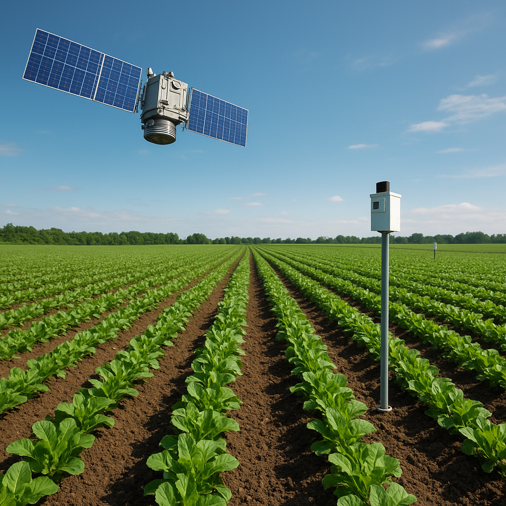
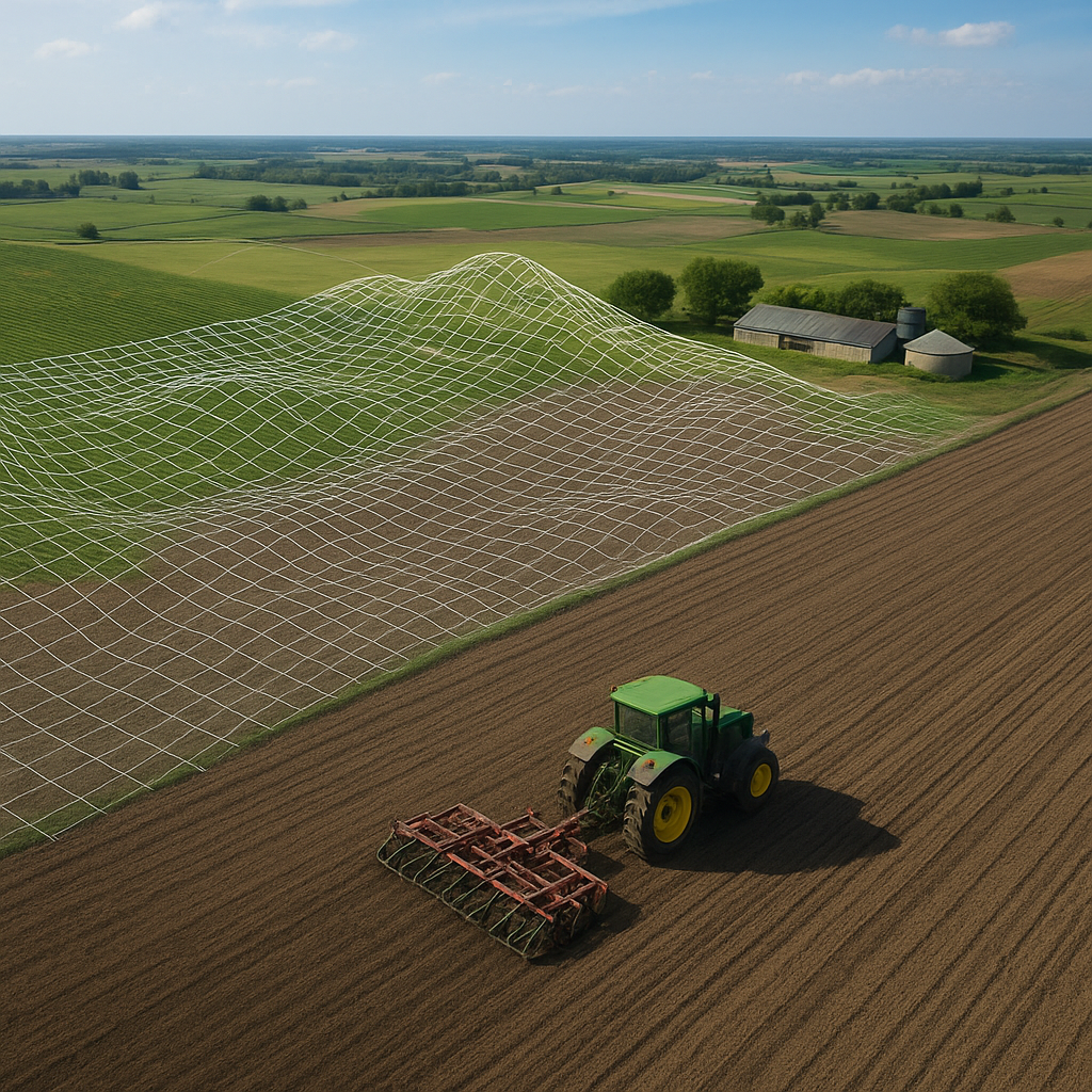
At its core, 3D mapping relies on capturing spatial data that reflects the true surface of the land. Through photogrammetry, LiDAR scans, and multispectral imaging, surveyors collect vast datasets that represent height, slope, and aspect. These models enable farm managers to visualize micro-variations in elevation—critical for optimizing water flow, soil compaction, and planting density. By translating raw data into interactive meshes, stakeholders gain unparalleled insight into field topography.
Principles of Photogrammetry
Photogrammetry extracts three-dimensional information from overlapping aerial or ground-based imagery. High-resolution cameras mounted on drones or tractors capture multiple photographs from different angles. Specialized algorithms then align and triangulate key points across images, reconstructing a 3D representation. The result is a dense point cloud that can be converted into digital elevation models (DEMs) and textured meshes, revealing subtle undulations invisible to the naked eye.
Hardware and Software Components
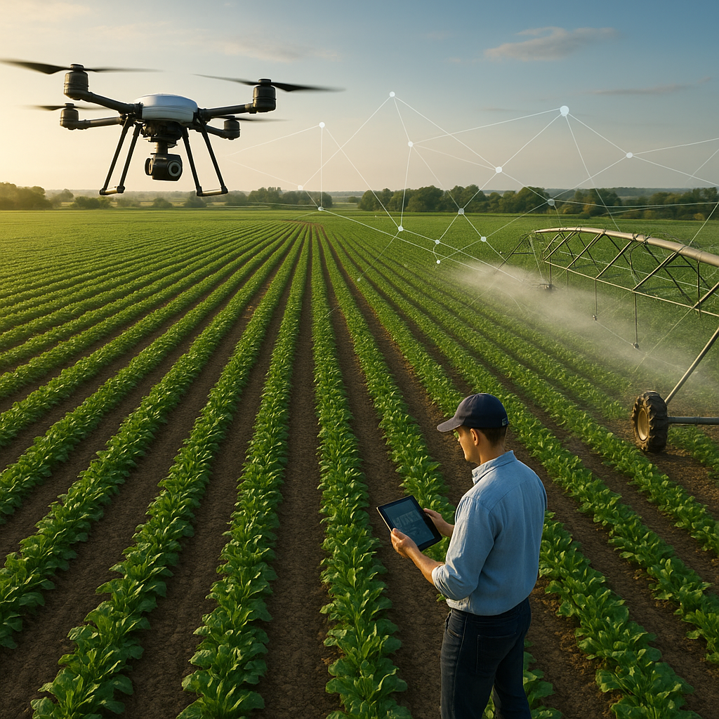
- Unmanned aerial vehicles (UAVs) equipped with RGB or multispectral sensors
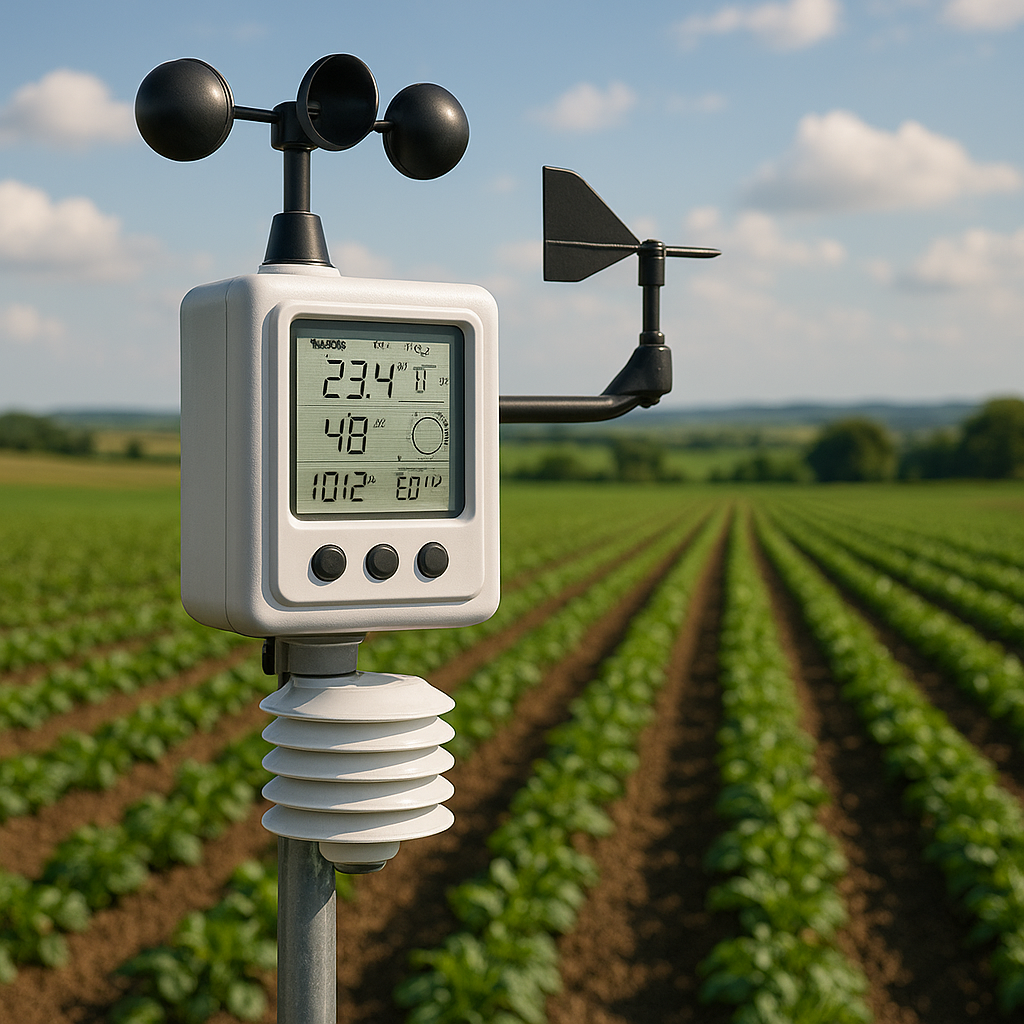
- LiDAR scanners providing centimeter-level accuracy
- Ground control points (GCPs) for georeferencing
- Specialized processing platforms such as Pix4D, Agisoft, or ArcGIS Pro
- Cloud-based storage solutions enabling collaborative analysis
Enhancing Farm Infrastructure with Spatial Intelligence
Once a detailed 3D model is available, the possibilities for optimization multiply. Farm engineers can design terraces that follow the natural contours of sloped land, minimizing erosion and runoff. By incorporating water flow simulations directly into the 3D environment, irrigation networks are laid out with minimal pipe length and reduced energy consumption. Even the placement of storage facilities, greenhouses, and livestock shelters benefits from digital site planning.
Road and Pathway Planning
Access routes are vital arteries that affect machine maneuverability and logistics flow. Using 3D maps, planners can determine the most efficient routes, avoiding steep slopes or waterlogged areas. This leads to pathways that reduce soil compaction, lower maintenance costs, and extend the lifespan of heavy farm vehicles. Incorporating drainage ditches into the design ensures roads remain passable year-round.
Drainage and Water Management
Water is the lifeblood of agriculture, yet poorly managed drainage can erode fields and waste precious resources. Detailed terrain models allow engineers to simulate runoff patterns, identify pooling zones, and propose corrective measures. By placing subsurface drains or retention ponds at strategic locations, farms achieve balanced soil moisture and prevent nutrient leaching. Accurate grading also ensures even water distribution, enhancing overall efficiency.
Boosting Productivity through Data-Driven Solutions
Integration of 3D mapping with soil and crop data produces a holistic picture of field performance. Combining spatial models with yield monitors, variable-rate technology, and IoT sensors enables site-specific management zones. Farmers can apply fertilizers, seeds, and pesticides only where needed, reducing input costs and environmental impact. This targeted approach enhances productivity while fostering sustainable practices.
- Variable-rate seeding based on slope and drainage characteristics
- Precision irrigation scheduling informed by 3D moisture models
- Automated machinery guidance using real-time terrain feedback
- Crop health monitoring via integrated aerial and ground sensors
Such advanced practices lead to consistent yields across heterogeneous landscapes, diminishing unpredictability caused by microclimates or soil variability. When combined with predictive analytics, farmers can forecast performance and plan interventions before issues escalate.
Future Trends and Innovations
The next frontier in 3D agricultural mapping lies at the intersection of machine learning and real-time monitoring. AI algorithms can analyze evolving point clouds, automatically detecting anomalies such as field subsidence, pest infestations, or equipment damage. Edge computing on unmanned platforms will process data in the field, delivering immediate insights without the latency of cloud transmission. As connectivity expands across rural areas, even the smallest operations will harness this technology to meet global food demands.
Integration with Robotics
Autonomous tractors and harvesters are already navigating fields using GPS, but coupling these vehicles with up-to-the-minute 3D terrain maps will refine their pathing and operational efficiency. Seamless communication between ground robots and aerial drones allows dynamic route adjustments and obstacle avoidance. Such collaboration ensures minimal human intervention during critical planting or harvesting windows.
Towards Sustainable Agriculture
By fully embracing spatial intelligence, the agricultural sector can address climate challenges and resource constraints. Detailed mapping supports carbon sequestration projects by guiding the planting of cover crops on erodible slopes. It also aids in carbon credit verification through transparent, auditable models of land use change. Ultimately, 3D mapping empowers farmers to achieve higher yields with lower inputs, forging a resilient and environmentally responsible future.