Innovations in aerial data acquisition are transforming the way modern farms operate, driving remarkable gains in productivity and environmental stewardship. By harnessing advanced imaging techniques, growers can now obtain granular insights into crop health, soil conditions, and landscape variations. The integration of these insights into everyday farm management empowers producers to make informed, timely decisions that translate into significant economic and ecological benefits.
Revolution in Farm Data Collection
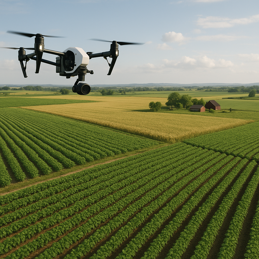
In the past, gathering field information required time-consuming manual scouting or expensive ground-based sensors. Today, drone platforms equipped with multispectral and thermal cameras capture high-resolution imagery across vast areas in mere hours. This rapid data acquisition offers several advantages:
- Comprehensive spatial coverage, eliminating blind spots.
- Repeatable flight plans for consistent temporal comparisons.
- Ability to survey remote or difficult terrain with ease.
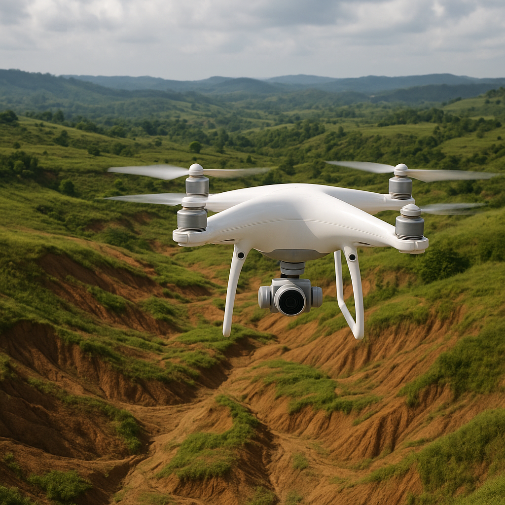
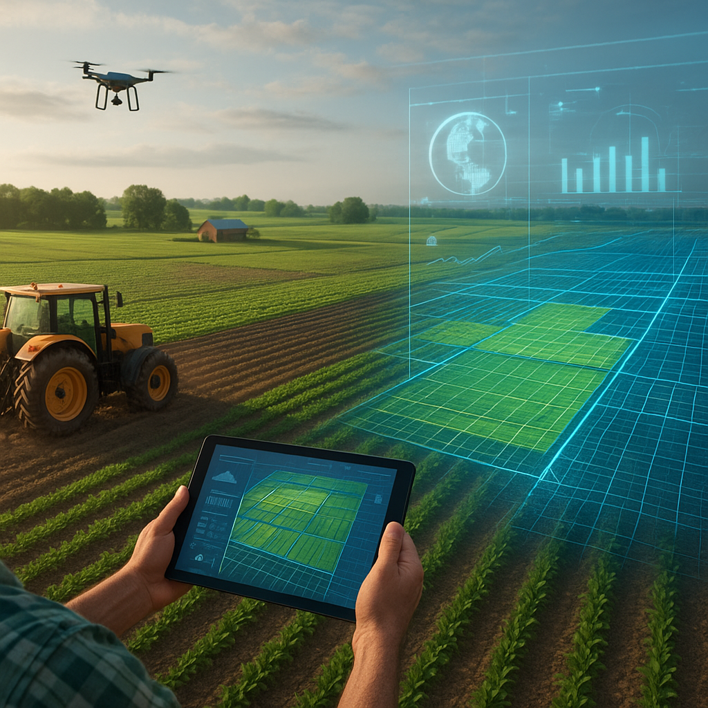
By generating georeferenced orthomosaics, producers gain an accurate visual and quantitative record of their fields. The seamless fusion of overlapping images creates a unified map, providing a detailed blueprint for targeted interventions. Advanced Unmanned Aerial Vehicles (UAVs) enable vertical and oblique flights, delivering both planimetric and perspective views that unveil subtle topographical nuances.
Precision Agriculture and Resource Optimization
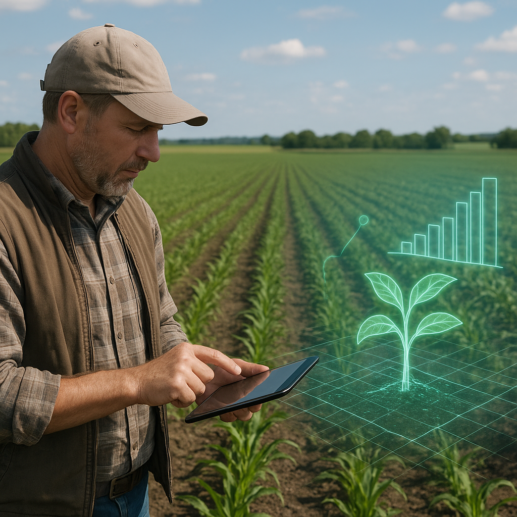
Integrating drone-derived maps into farm management systems unlocks a new level of precision agriculture. With granular insights, growers can:
- Apply fertilizers variably to address zone-specific nutrient demands.
- Optimize irrigation schedules based on real-time moisture stress indicators.
- Deploy crop protection products exactly where pests or diseases emerge.
Such fine-tuned applications dramatically enhance input-use efficiency, reducing waste and minimizing environmental footprint. Precision prescriptions generated by analytics software translate map data into actionable treatment zones, ensuring that every drop of water and gram of fertilizer yields maximum return. Furthermore, early detection of stress patterns through vegetation indices—such as the NDVI—enables proactive measures that safeguard overall crop performance.
Real-World Implementations and Case Studies
A growing number of progressive farms worldwide are leveraging drone mapping to bolster productivity. In a large-scale corn operation, frequent aerial surveys revealed patchy emergence linked to soil compaction. By creating a variable-rate seeding plan based on compaction maps, the farm achieved a 15% boost in uniform emergence and a subsequent 10% rise in overall yield. Another example from a vineyard demonstrated how thermal imaging pinpointed under-irrigated vines during a heatwave, enabling targeted irrigation that prevented fruit loss and preserved grape quality.
Livestock managers also benefit from aerial assessments. Pasture health mapping identifies overgrazed sections, guiding rotational grazing schedules to enhance regrowth and maintain optimal biomass levels. In one dairy operation, drones monitored grass growth rates across paddocks, leading to a 12% increase in forage utilization and a 7% reduction in supplemental feed costs.
Overcoming Challenges and Embracing the Future
Despite the powerful advantages, drone mapping adoption still faces hurdles. Regulatory frameworks vary by region, sometimes complicating flight permissions. Data management can overwhelm teams without proper digital infrastructure, and initial equipment costs may deter smaller operations. However, emerging solutions aim to address these issues:
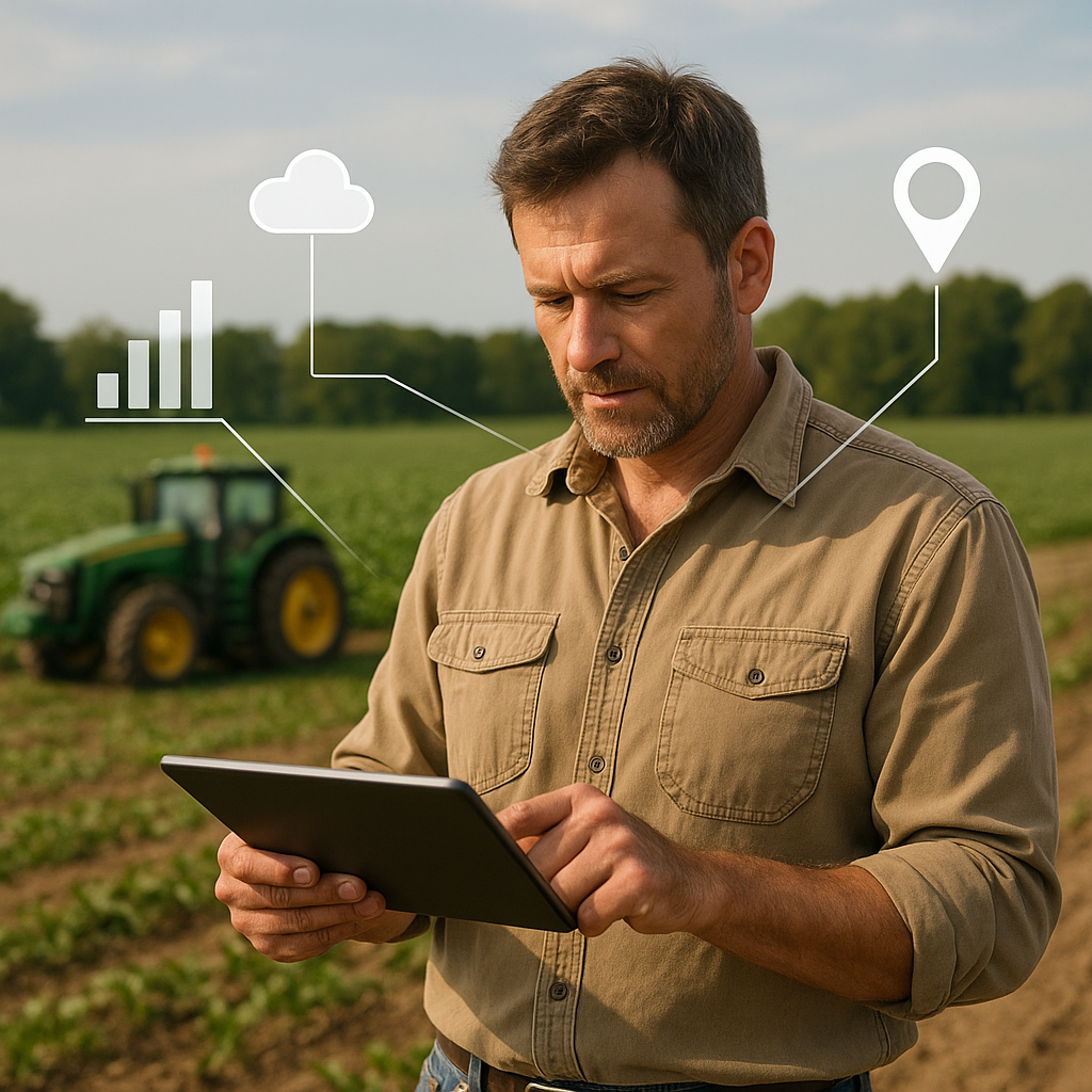
- Cloud-based platforms streamline monitoring workflows, offering intuitive dashboards and automated alerts.
- Subscription-based service models lower upfront investment for equipment and software.
- Collaborative initiatives foster shared resources and training for local producers.
Looking ahead, integration with satellite imagery and ground sensor networks promises even richer datasets. Combining high-altitude and low-altitude observations will refine soil moisture estimations and crop growth models. The next wave of AI-driven algorithms will predict stress events before symptoms become visible, ushering in a new era of truly proactive farm stewardship.