An unprecedented synergy between satellite observations and advanced agronomic methods is transforming the way farmers, researchers, and policymakers forecast and enhance crop performance. By integrating continuous Earth imaging with powerful machine learning algorithms, the agricultural sector unlocks new dimensions of precision and reliability in yield estimation. This article explores the remarkable technologies, analytical frameworks, and global implications that make modern crop prediction not only possible but increasingly sustainable and resilient in the face of environmental challenges.
Advanced Remote Sensing Technologies Driving Precision Farming
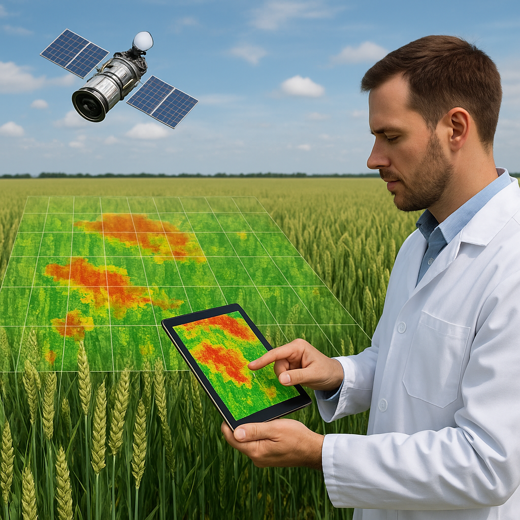
High-resolution Imagery and Crop Monitoring
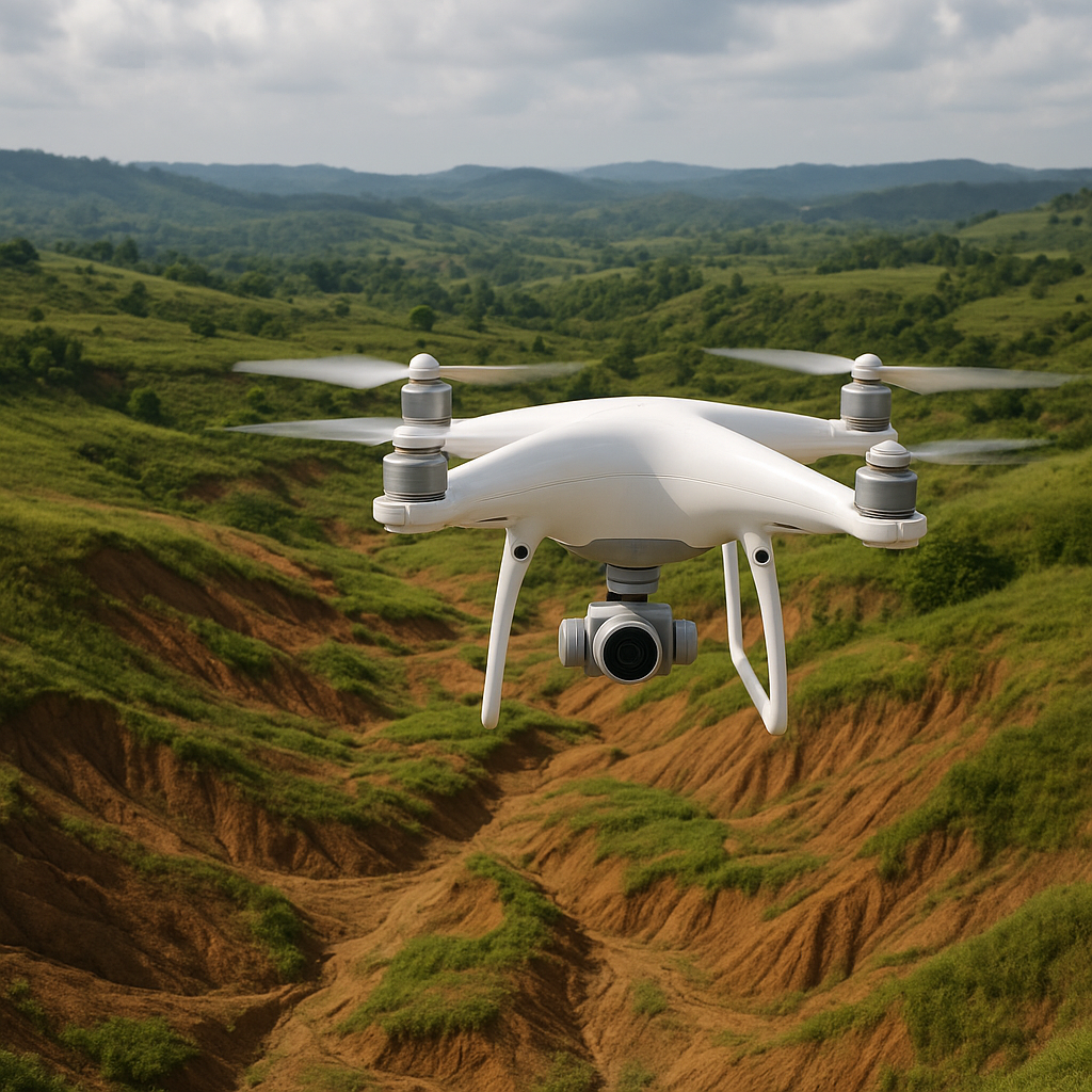
High-definition satellites equipped with cutting-edge sensors deliver frequent snapshots of farmland at resolutions down to a few meters or less. These images enable agronomists to detect early signs of stress, nutrient deficiencies, or pest infestations long before they manifest in visible yield loss. By comparing temporal sequences of images, farm managers gain a detailed understanding of growth patterns.
- Normalized Difference Vegetation Index (NDVI) maps track photosynthetic activity.
- Thermal infrared data reveal water stress and evapotranspiration hotspots.
- Radar imagery penetrates cloud cover to maintain continuous monitoring.
Such high-frequency surveillance fosters a level of predictive insight that conventional scouting alone cannot match.
Multispectral and Hyperspectral Data Applications
Beyond visible light, multispectral and hyperspectral instruments capture reflectance across dozens to hundreds of narrow bands. Each spectral signature corresponds to unique biochemical and physiological properties within plants. Satellite-derived spectral indices can therefore quantify:
- Leaf chlorophyll content, indicating photosynthetic efficiency.
- Soil moisture and organic matter distribution.
- Crop maturity stages for optimal harvest scheduling.
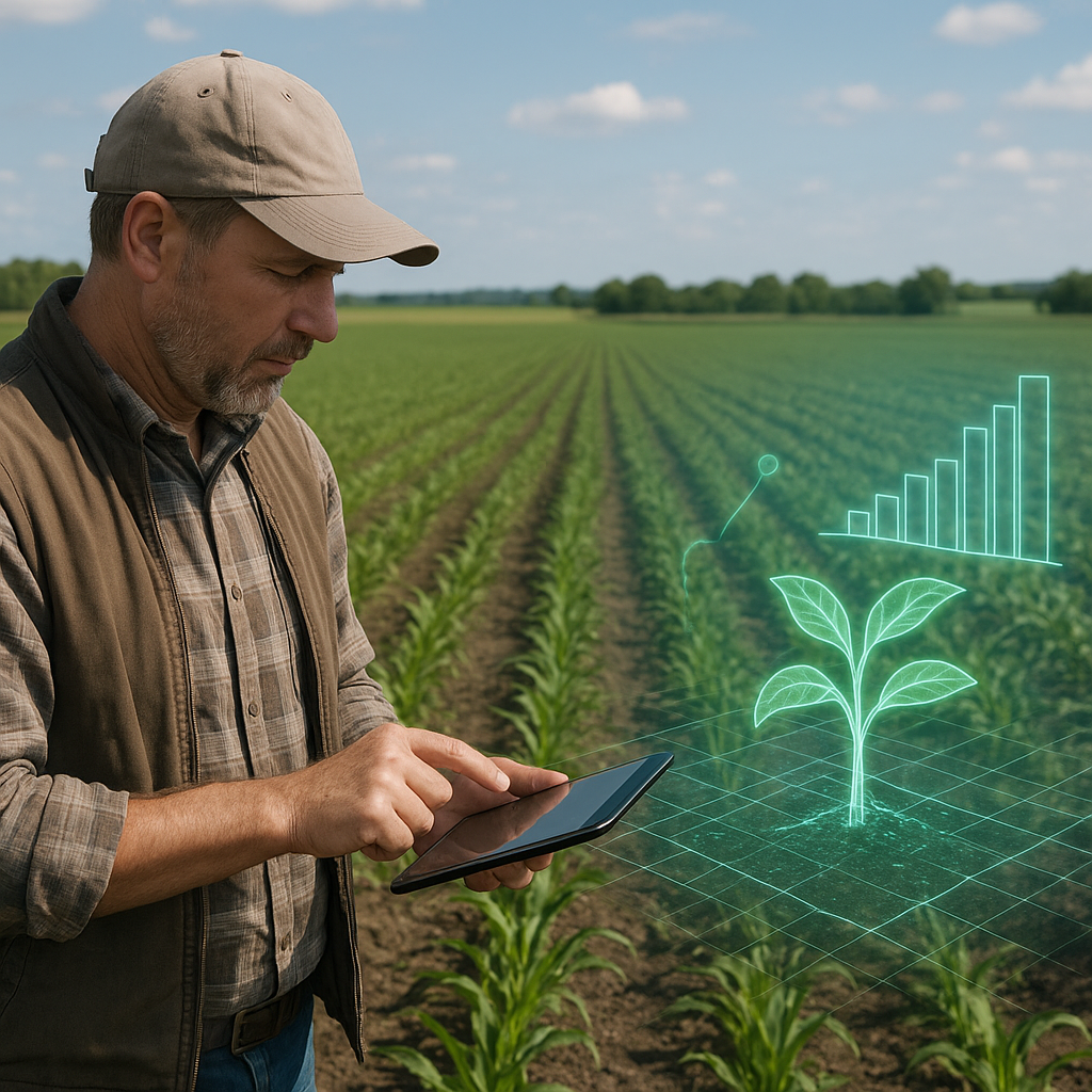
Combining these indices with in-field sensors creates a dynamic mosaic of crop health metrics, fueling more accurate yield models. Farmers can adjust irrigation, fertilization, and pest control in real time, maximizing input efficiency and minimizing environmental impact.
Data Analytics and Machine Learning in Yield Forecasting
Integration of Historical Data and Satellite Observations
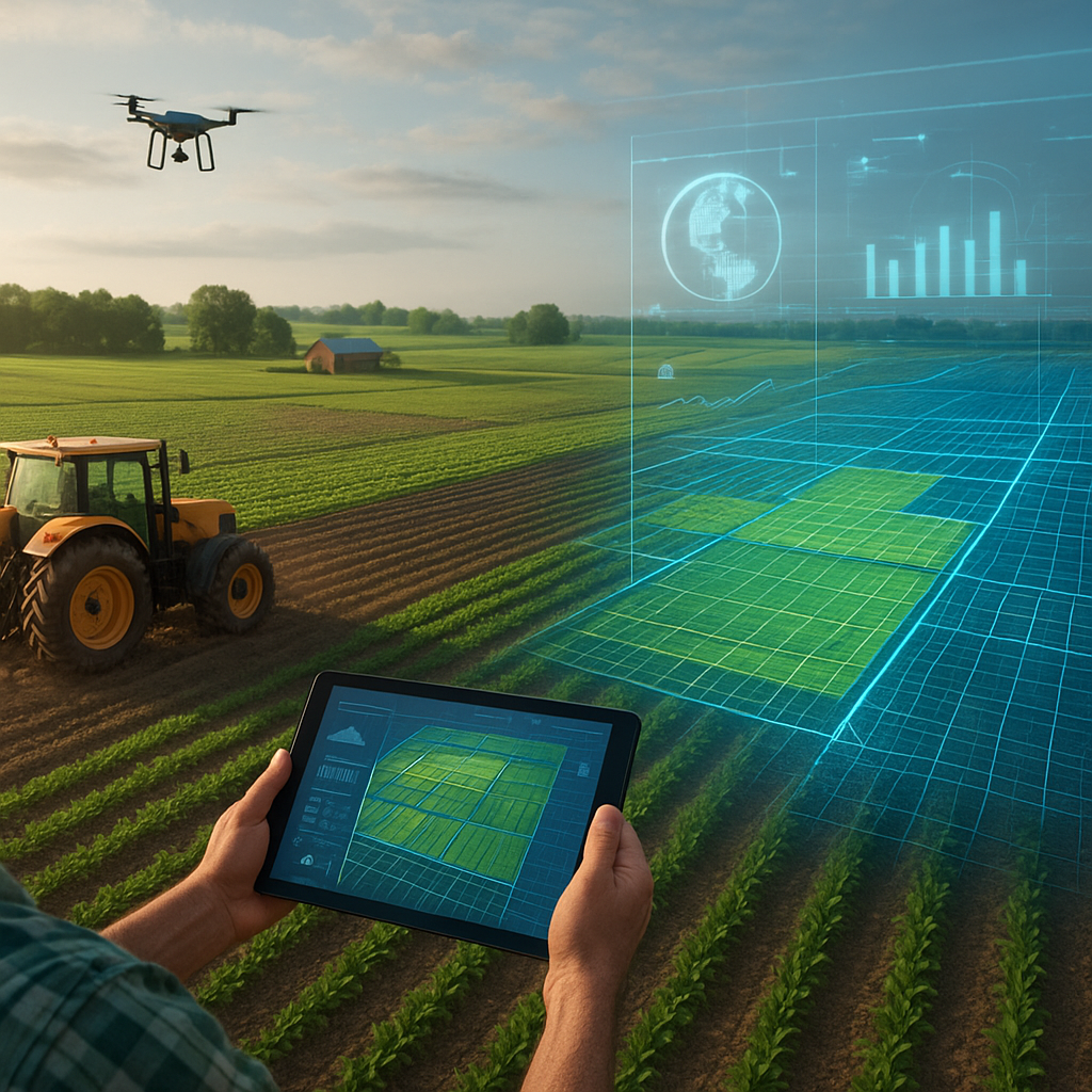
To build robust prediction frameworks, analysts fuse multi-year archives of weather records, soil surveys, and previous harvest outcomes with live satellite streams. This integration requires sophisticated big data management to harmonize disparate formats and scales. Cloud platforms now ingest petabytes of imagery and field data, then apply preprocessing steps such as:
- Georeferencing and orthorectification for spatial accuracy.
- Noise filtering to remove atmospheric interference.
- Temporal smoothing to handle missing or cloudy frames.
Once standardized, these datasets feed into regression analyses and time series models that correlate spectral patterns to actual yields. The result is a continuously refined understanding of regional production potentials under varying climatic scenarios.
Machine Learning Models and Predictive Accuracy
Emerging AI techniques, including deep neural networks and ensemble methods, excel at capturing nonlinear relationships among environmental variables. By training on labeled datasets—where remote sensing indices align with measured yields—models learn to anticipate production outcomes weeks or even months before harvest.
- Random forests and gradient boosting machines identify the most impactful features.
- Convolutional neural networks extract spatial patterns from imagery.
- Recurrent neural networks handle sequential temporal data for trend forecasting.
These approaches have demonstrated prediction accuracies exceeding 90 percent in some regions, empowering stakeholders with actionable intelligence on expected output. Such foresight enhances supply chain planning and market stability, reducing the risk of shortages or surpluses.
Global Implications and Sustainable Development Goals
Food Security and Resource Optimization
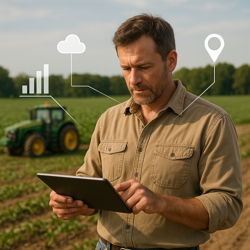
Accurate yield predictions at national and global scales directly support efforts to combat hunger and malnutrition. Policymakers leverage satellite-driven forecasts to:
- Identify potential food deficit regions early in the season.
- Allocate emergency reserves or import quotas strategically.
- Guide investments in agricultural infrastructure and technology.
Meanwhile, farmers adopt site-specific management practices that reduce wasteful over-application of water and fertilizers. By targeting interventions only where needed, agricultural systems move closer to a resource-efficient paradigm that aligns with international sustainability targets.
Challenges and Future Directions
Despite remarkable progress, several hurdles remain on the path to truly climate resilience in agriculture. Satellite revisit frequencies can still leave critical gaps in cloudy or storm-prone regions. Data licensing and interoperability issues hinder the full democratization of powerful predictive tools. Furthermore, integrating socioeconomic factors—such as market dynamics and labor availability—poses a complex challenge for holistic yield modelling.
Ongoing innovations promise to address these limitations. CubeSats and microsatellite constellations are increasing revisit rates, while open data initiatives foster broader collaboration among nations and organizations. The fusion of drone-based UAV imagery with satellite data creates hyper-localized analytics, and federated learning approaches may enable secure, privacy-preserving model training across diverse farms.
As these advancements unfold, the marriage of remote sensing, predictive analytics, and sustainable agronomic practices will continue to redefine what is possible in modern farming. By harnessing the power of the skies, stakeholders are building more resilient food systems capable of withstanding climatic shifts and feeding a growing global population.