




Using Computer Vision to Identify Invasive Species
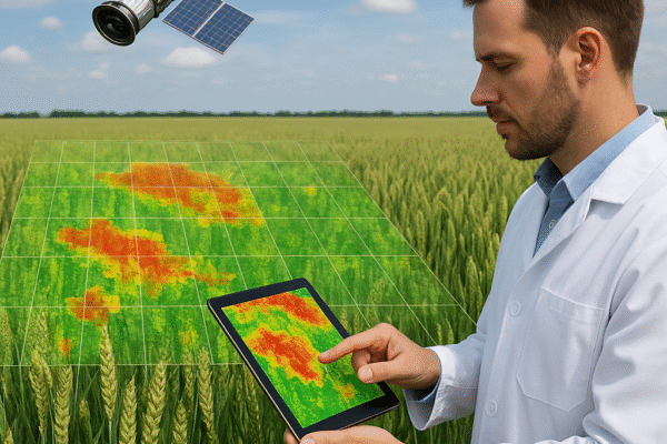
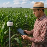
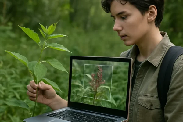
Advancements in computer vision are revolutionizing how the agricultural sector tackles the persistent threat of invasive species. By integrating high-resolution imagery, AI-driven algorithms, and autonomous platforms, growers and researchers can conduct real-time monitoring across expansive fields. This synergy not only enhances early detection but also promotes sustainable land management, safeguards biodiversity, and fortifies overall ecosystem…