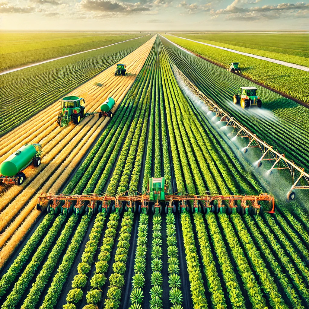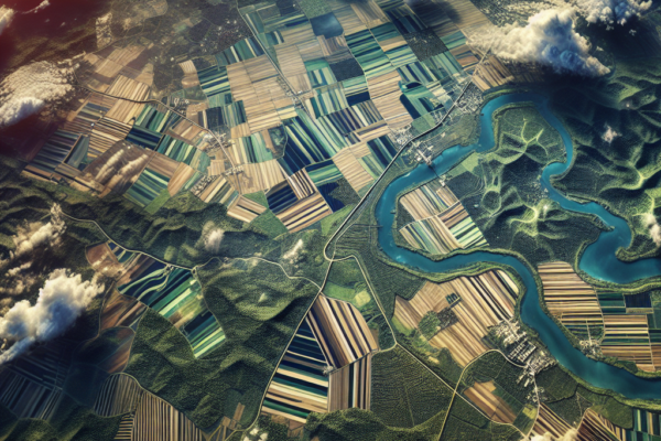
Using Satellite Imagery for Precision Farming and Crop Monitoring

Using Satellite Imagery for Precision Farming and Crop Monitoring

Satellite imagery has revolutionized precision farming and crop monitoring, offering unprecedented insights and efficiencies to modern agriculture. By leveraging advanced technologies, farmers can now make data-driven decisions that enhance productivity, reduce waste, and promote sustainable practices. The Role of Satellite Imagery in Precision Farming Precision farming, also known as precision agriculture, involves the use of…
Read More

How Vertical Farming is Transforming Supermarkets and Grocery Stores

Vertical farming is revolutionizing the way supermarkets and grocery stores source their fresh produce. This innovative agricultural method, which involves growing crops in vertically stacked layers, is not only transforming urban landscapes but also reshaping the entire supply chain of fresh food. By leveraging advanced technologies and sustainable practices, vertical farming is addressing some of…

Read More