Across vast fields and rolling landscapes, agriculture has entered a new era of insight and efficiency. Harnessing the power of space-borne observation, farmers and agronomists are now able to make targeted decisions that boost productivity and conserve precious resources. By integrating precision techniques with advanced remote sensing, the modern farm becomes a dynamic blend of art and science, where every pixel of satellite imagery offers a pathway to a healthier harvest.
Monitoring from Space: The New Frontier
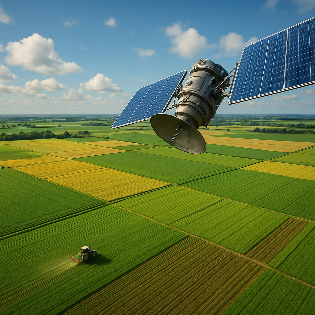
Satellites orbiting Earth carry a suite of sensors that capture invaluable information on crop vigor, soil moisture, and nutrient status. This constant stream of high-resolution data forms the backbone of remote agricultural oversight. By analyzing spectral bands—such as those used in NDVI (Normalized Difference Vegetation Index)—experts can detect stress in plants long before wilting becomes visible to the naked eye.
These orbital platforms vary in altitude and capabilities. Geostationary satellites provide continuous coverage of large swaths of farmland, while low-Earth-orbit constellations deliver finer spatial resolution. Together, they enable real-time monitoring of growth cycles, pest outbreaks, and even the impact of extreme weather events. The result is a more proactive approach to crop management, where early warnings translate into timely interventions.
Data Integration and Analytics in Precision Farming
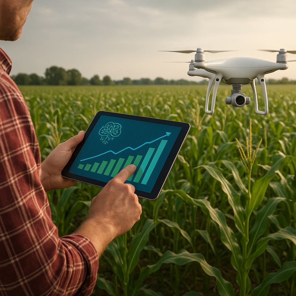
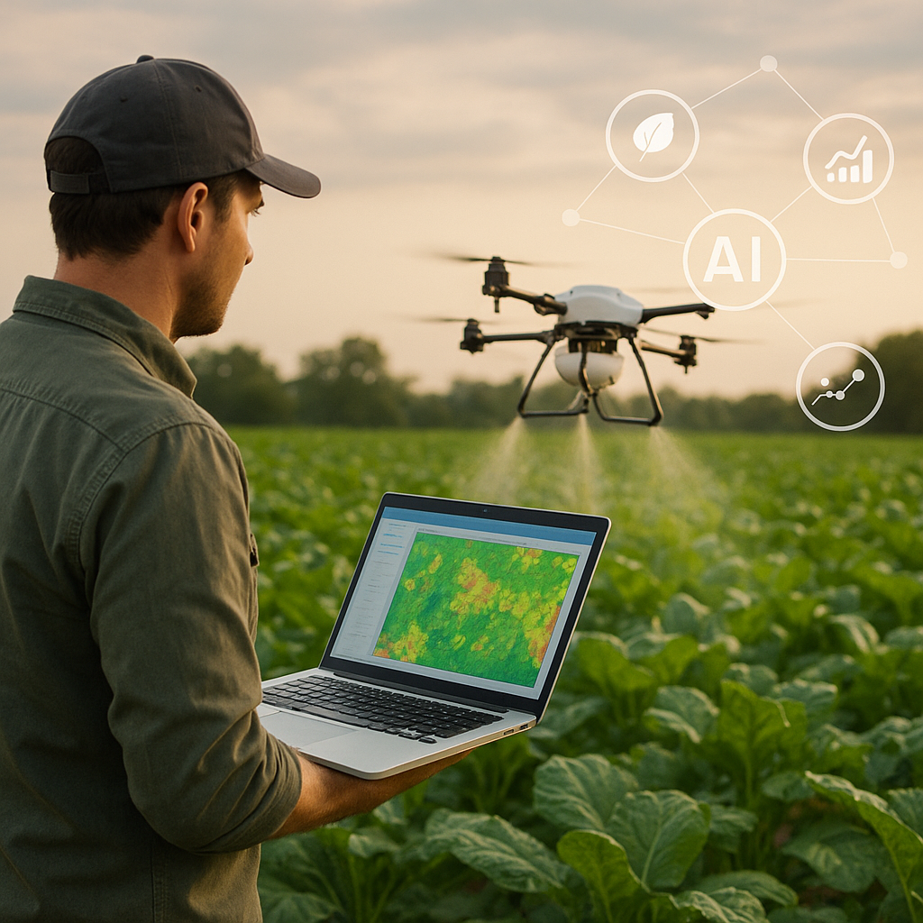
The influx of satellite-derived information must be woven into comprehensive management systems. Geographic Information Systems (GIS), field sensors, drones, and weather stations all feed into unified dashboards that guide decision-making. Advanced algorithms apply machine learning and AI models to forecast yield trends, optimize irrigation schedules, and recommend variable-rate fertilizer applications.
- Spatial zoning: Segmenting fields into management zones based on historical performance and current health metrics.
- Predictive modeling: Leveraging weather forecasts and growth simulations to anticipate resource needs.
- Real-time alerts: Notifying operators of anomalies such as nutrient deficiency or water stress.
Ultimately, this data-driven ecosystem empowers farmers to focus on targeted solutions rather than blanket treatments, driving greater efficiency in both inputs and labor. Enhanced connectivity between sensors, machinery, and analytical software fosters a level of orchestration once unimaginable in traditional agriculture.
Environmental Benefits and Sustainable Practices
Precision agriculture represents a pivotal shift toward more sustainability and environmental stewardship. By applying water, fertilizers, and pesticides only where needed, growers can significantly reduce runoff and leaching into nearby waterways. Satellite-guided irrigation systems optimize water distribution, trimming waste by pinpointing areas of high evapotranspiration.
Such judicious resource use helps preserve the local ecosystem and protects biodiversity on and around farm properties. Soil health is maintained through controlled compaction and minimized chemical overload. Over time, this leads to enhanced resilience against droughts, floods, and other climate extremes, safeguarding long-term productivity.
Case Studies and Real-World Applications
From the American Midwest to the rice terraces of Southeast Asia, satellite monitoring has sparked an agricultural revolution:
- Midwestern Corn Belt: Collaborative platforms that integrate satellite imagery with soil maps have increased average corn yields by over 15% while cutting nitrogen usage by 20%.
- Citrus Groves in Spain: Growers deploy multispectral data to detect early signs of fungal infections, enabling targeted fungicide application and reducing chemical costs by up to 30%.
- Rice Farms in the Philippines: Flooded paddy fields benefit from moisture assessments derived from radar satellites, ensuring ideal water levels and preventing crop loss during monsoon seasons.
- Cocoa Plantations in West Africa: Smallholder cooperatives access low-cost satellite-based advisories via mobile apps, improving yield forecasts and strengthening market negotiations.
These success stories illustrate the transformative potential of space technologies to address global food security challenges and elevate the livelihoods of farming communities worldwide. With every harvest guided by orbital observation, the margin for error narrows and the prospects for prosperity grow.
Challenges and Future Prospects
Despite its promise, the integration of satellite monitoring into everyday farming remains bounded by several hurdles. Data access can be limited by subscription costs or restricted by government regulations. Small-scale farmers in remote areas may face connectivity issues, hindering the flow of critical information. Additionally, the sheer volume of incoming satellite images demands robust storage and processing infrastructures, which are not always available.
Looking ahead, the next generation of microsatellites and nanosatellite constellations will drive down costs and improve revisit rates. Partnerships between public agencies and private enterprises are expanding open-data initiatives, making high-resolution imagery more accessible. On-farm edge computing and the integration of robotics promise to streamline analysis and automate field operations, further enhancing optimization of labor and machinery.
Embracing innovation in agricultural technology also means bridging educational gaps. Training programs and digital extension services will be key to ensuring that farmers can interpret complex analytics and translate insights into action. As rural connectivity improves, farmers will gain direct access to advisory platforms, strengthening the link between remote sensing breakthroughs and on-the-ground applications.
The future of farming lies at the intersection of Earth observation and high-tech analytics. By combining satellite vision with local expertise, the agriculture industry can cultivate more abundant, healthier crops while protecting the planet’s natural resources. This confluence of space-based tools and fieldwork heralds a golden age of food production—one defined by efficiency, harmony, and enduring success.