The integration of unmanned aerial vehicles into **precision** agriculture has ushered in a new era of environmental stewardship and crop optimization. By combining high-resolution imaging, advanced sensors, and intelligent flight algorithms, modern farms can now detect early signs of **erosion**, assess field **topography**, and implement targeted interventions. This article explores how **drones** are transforming soil erosion mapping, driving **sustainability**, and bolstering the resilience of agricultural landscapes.
Challenges in Monitoring Soil Erosion
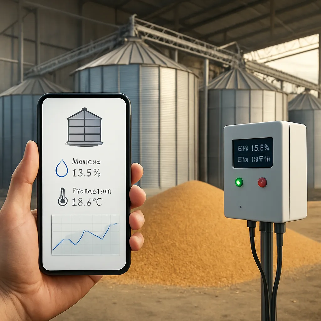
Soil erosion remains one of the most pressing threats to global food security and ecosystem health. In regions prone to heavy rainfall or strong winds, agricultural land can lose precious topsoil at alarming rates. Traditional methods of assessing erosion—manual surveys, satellite imagery, or fixed weather stations—often lack the granularity needed to capture small-scale variations across a field. Farmers and land managers have struggled to identify vulnerable zones before nutrient-rich soil washes or blows away, compromising crop yields and long-term viability.
Aside from the inherent heterogeneity of field conditions, erosion patterns can change rapidly following extreme weather events. Spot checks or infrequent aerial photography may miss critical developments, delaying necessary countermeasures. The absence of real-time, high-resolution data can also hamper efforts to model water flow, sediment transport, or the impact of cover crops and terracing. Without precise information, interventions can become costlier and less effective, ultimately reducing overall **resilience**.
- Patchy ground cover leading to runoff channels
- Subtle slope depressions undetectable at low resolution
- Dynamic shifts after intense storms or irrigation spikes
- Inability to correlate soil moisture with topographical features
The Rise of Drone Technology in Farm Monitoring
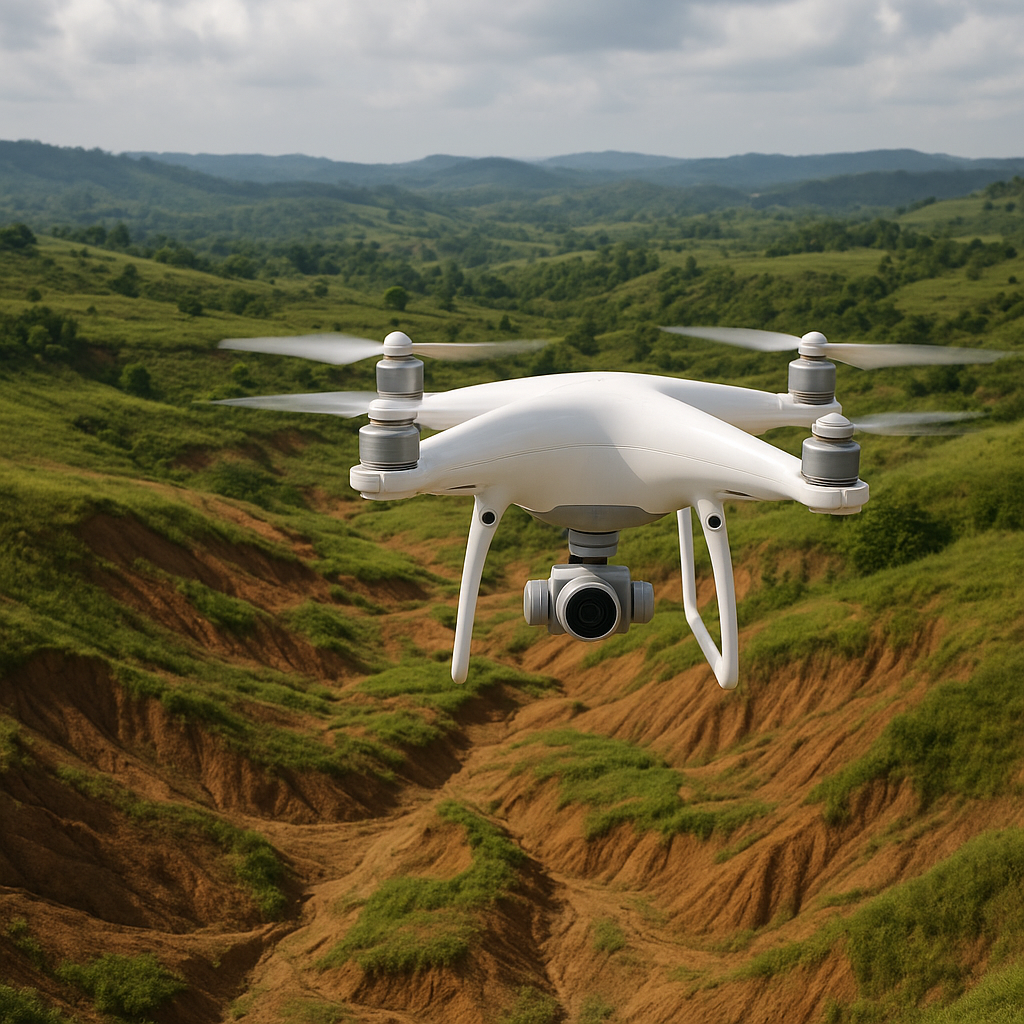
Unmanned aerial systems have rapidly evolved from novelty toys to indispensable tools in modern agriculture. Equipped with lightweight yet powerful sensors, drones can swiftly traverse large tracts of farmland, capturing high-definition imagery with centimeter-level accuracy. Flight planning software uses GPS waypoints to ensure consistent coverage, enabling repeatable missions that track changes in field conditions over time. The result is a granular, up-to-date dataset that far surpasses what traditional means can deliver.
Key advantages of drone-based monitoring include cost-effectiveness and flexibility. Rather than commissioning expensive manned aircraft or relying on low-resolution satellite passes, farmers can deploy a drone at a moment’s notice—immediately after a storm, for instance—and survey the entire property in under an hour. This rapid response capability is crucial for identifying newly eroded gullies, assessing sediment deposits near waterways, and fine-tuning conservation practices.
- On-demand data acquisition within 24 hours of weather events
- Customizable flight plans tailored to field geometry
- Integration with existing farm management platforms
- Low operational overhead and minimal training requirements
Advanced Mapping Techniques Enabled by Drones
Beyond simple photography, drones facilitate sophisticated mapping methods that enhance **analytics** and decision-making. Using structure-from-motion algorithms, operators can generate detailed 3D point clouds that accurately represent field **topography**. These digital elevation models (DEMs) reveal micro-relief features such as rill networks and sediment accumulation zones—information vital for erosion modeling and water management.
Multispectral and thermal sensors further enrich the data pool. By capturing light beyond the visible spectrum, drones can detect variations in soil moisture, organic matter content, and vegetation health. This spectral insight helps distinguish bare soil from cover crops, pinpoint drying patches prone to dust emissions, and measure the efficacy of ground cover interventions. Georeferenced thermal maps, meanwhile, can highlight areas of excessive heat stress where soil microbes and root systems are at risk.
- Structure-from-motion for 3D terrain mapping
- Multispectral imagery to assess moisture and organic content
- Thermal surveys identifying hot spots and water deficits
- Georeferencing for integration with GIS and precision tools
The fusion of spatial and spectral layers empowers farmers to adopt site-specific strategies: contour planting, strategic grassed waterways, or variable-rate seeding. With a clear understanding of where erosion is most acute, they can allocate resources more **effectively** and reduce the need for broad, uniform interventions.
Real-World Applications and Case Studies
Across the globe, early adopters are harnessing drone-based erosion mapping to revitalize degraded landscapes. In the rolling hills of southern Europe, one cooperative used high-resolution DEMs to design micro-basins that slow runoff and capture sediment. Over two seasons, they saw a 30% drop in soil loss and improved infiltration rates, translating to healthier vines and higher yields.
In the American Midwest, a large-scale row-crop operation employed drones to monitor a complex watershed spanning 5,000 acres. By overlaying multispectral indices on elevation models, agronomists pinpointed sandy knolls susceptible to wind erosion. Targeted planting of windbreaks and cover crops in those zones cut soil displacement by half, while boosting soil carbon levels by 12%.
Meanwhile, in Southeast Asia, smallholder rice farmers obtained low-cost drone services through a cooperative model. Real-time mapping helped them optimize bund height around terraces and identify seepage hotspots. This precision approach reduced labor hours spent on manual inspections by 60% and enhanced water retention during the dry season.
- European vineyards adopting micro-basin earthworks
- Midwestern row-crop farms integrating DEMs with crop models
- Smallholder rice terraces benefiting from cooperative drone surveys
These diverse applications underscore the versatility of drone platforms. By tailoring sensor payloads and flight patterns to local conditions, stakeholders can transform raw data into actionable insights—leading to more climate-smart, **sustainable** agriculture.
Future Directions and Innovations
Looking ahead, the convergence of artificial intelligence and drone imagery promises even greater leaps. Machine learning algorithms can automatically classify erosion features, flagging risky spots without human intervention. Autonomous drones may one day patrol fields on preset schedules, feeding live data into digital twins of the landscape. Farmers could receive predictive alerts when simulated rainfall models indicate a high probability of gully formation.
Moreover, emerging sensor technologies—such as LiDAR and hyperspectral imaging—will push resolution and diagnostic power to new heights. Coupled with edge computing on the drone itself, data processing can occur in-flight, delivering near-instantaneous terrain and soil condition assessments. Such capabilities will democratize access to professional-grade mapping, making advanced erosion management feasible even for resource-limited operations.
Ultimately, the marriage of drone technology with **sustainability** goals offers a blueprint for resilient, productive agriculture. By continually refining mapping techniques and embracing innovation, the industry can safeguard soil health, optimize inputs, and respond proactively to environmental challenges. The future of farming lies not just in greater yields, but in smarter stewardship of the land that sustains us.