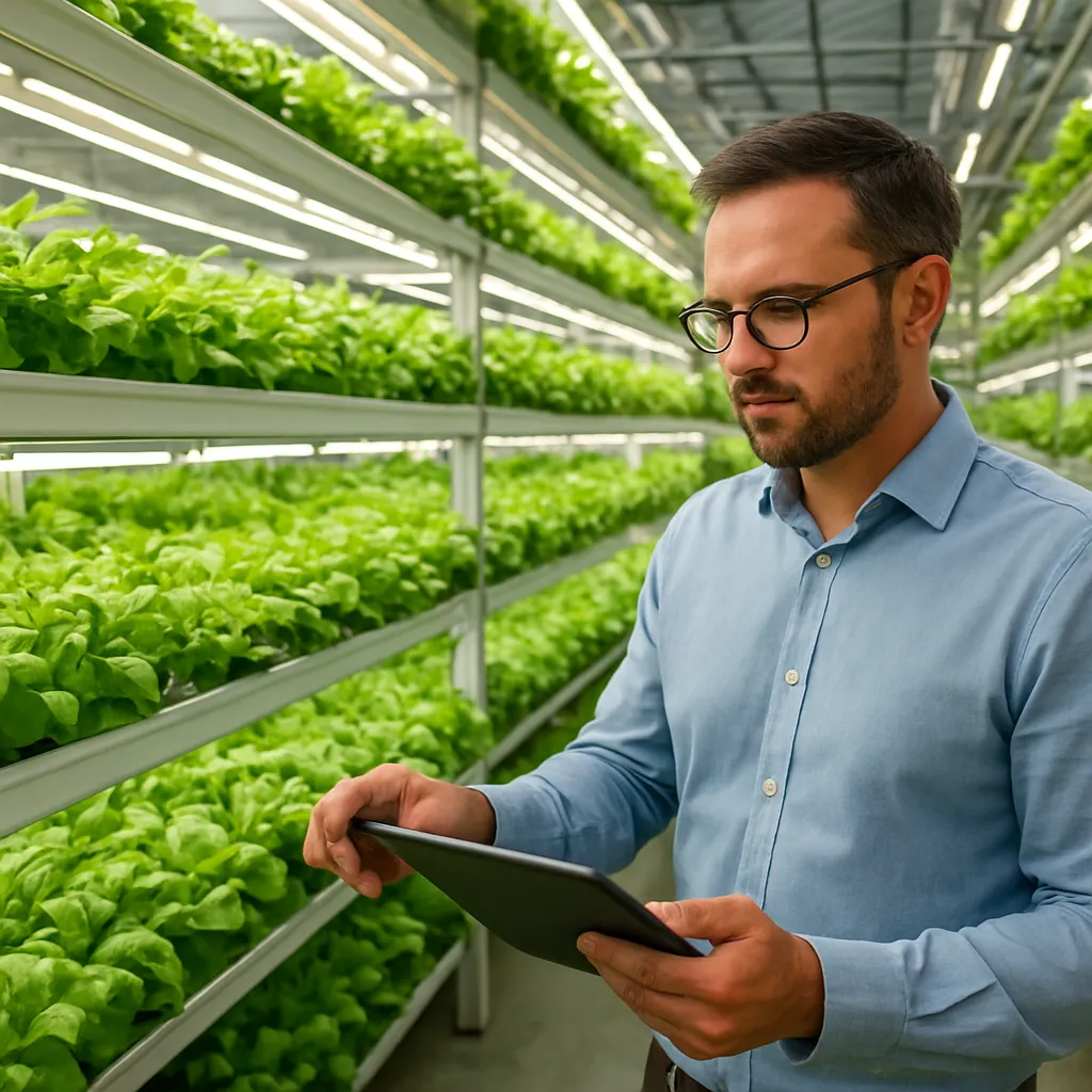
The marriage of space technology and farming has ushered in a new agricultural revolution. Orbiting platforms equipped with multispectral imagers, synthetic aperture radars, and thermal sensors provide continuous, high-resolution insights into field conditions. By harnessing data from satellites, agronomists can monitor crop vigor, soil moisture, and environmental stressors in near real time. These remote observations, when combined with machine learning and ground-based networks, drive precision farming practices that optimize inputs, reduce waste, and bolster food security around the globe.
The Role of Satellite Technology in Modern Agriculture
Historically, farmers relied on spotty ground surveys, aerial photography, and manual records to gauge crop health. Today, global constellations such as Copernicus Sentinel, Landsat, MODIS, and commercial microsatellite fleets capture imagery across the electromagnetic spectrum. This wealth of data supports:
- Optical and remote sensing measurements for vegetation indices like NDVI, EVI, and SAVI.
- Thermal infrared imaging to detect canopy temperature anomalies linked to water stress.
- Synthetic aperture radar (SAR) for mapping soil moisture and structural attributes beneath canopies.
- Hyperspectral analysis to reveal nutrient deficiencies, disease signatures, and pest infestations.
These tools feed into cloud-based platforms and big data analytics engines. By visualizing time‐series “data cubes,” researchers track phenological stages—from germination and flowering to senescence—across thousands of hectares. The result is a dynamic, spatially explicit prescription for interventions aligned with environmental stewardship and sustainability goals.
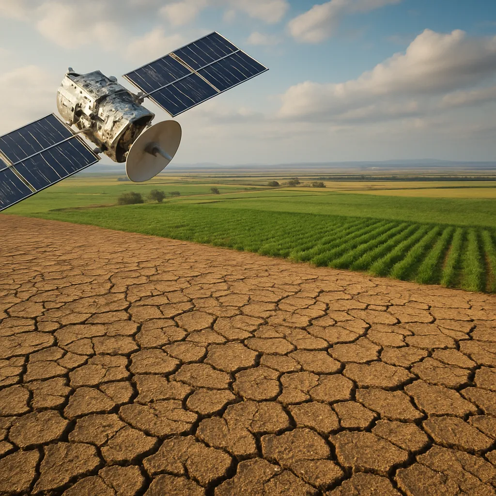
Monitoring Water Stress and Drought Conditions
Effective water management hinges on early detection of moisture deficits and plant stress. Satellite-driven metrics complement on‐farm probes and meteorological stations to form a robust drought monitoring network. Key methodologies include:
- Calculating the Normalized Difference Water Index (NDWI) to quantify water content in foliage.
- Deploying Soil Moisture Active Passive (SMAP) products for near-surface moisture mapping.
- Utilizing the Vegetation Condition Index (VCI) and Standardized Precipitation Index (SPI) for regional drought assessment.
- Applying thermal anomaly detection to pinpoint fields experiencing excessive evapotranspiration.
With these insights, water managers issue tiered alerts, guiding farmers to adjust scheduling, deploy drought-tolerant varieties, or implement mulching practices. Communities facing chronic drought leverage early warning systems to coordinate resource sharing, emergency planning, and insurance payouts. Such data fusion enhances agricultural resilience in the face of climate volatility.
Precision Irrigation and Resource Management
Integrating satellite data with in-field sensors and Internet of Things (IoT) networks enables automated, site-specific watering regimes. Variable Rate Irrigation (VRI) systems, controlled via SCADA interfaces and mobile apps, calibrate flow rates based on moisture demand. Operational steps include:
- Overlaying evapotranspiration maps from orbiting platforms with real-time soil moisture readings.
- Segmenting fields into management zones that reflect textural and topographical variations.
- Programming smart valves and pumps to supply precise volumes of water to each zone.
- Monitoring feedback loops to refine algorithms and conserve hydrological resources.
Smart irrigation not only curbs water consumption but also reduces fertilizer leaching, prevents salt buildup, and supports nutrient uptake. Farmers adopting these technologies often report water savings of 20–40% while maintaining or increasing overall productivity. By scaling such systems, even water-scarce regions can turn desert margins into productive farmland through efficient irrigation governance.
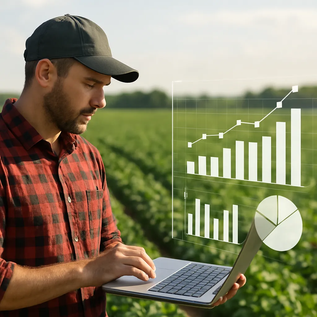
Predictive Analytics for Crop Health and Yield Optimization
Beyond descriptive monitoring, the fusion of satellite observations with advanced analytics tools creates predictive models that forecast stress events, pest outbreaks, and final yield outcomes. Core components of a predictive framework are:
- Time‐series anomaly detection to identify deviations from expected growth curves.
- Machine learning classifiers (e.g., random forests, convolutional neural networks) trained on spectral signatures of healthy versus diseased plants.
- Crop growth simulation models (DSSAT, APSIM) calibrated with geospatial inputs for irrigation, fertilization, and weather patterns.
- Prescriptive recommendation engines that evaluate multiple scenarios to optimize resource allocation.
These data-driven forecasts empower farm managers to plan harvest dates, secure market contracts, and negotiate financing terms with unprecedented accuracy. In emerging economies, smallholders tap into mobile dashboards powered by satellite‐enabled advisories, bridging the digital divide and democratizing access to agronomic expertise.
Case Studies and Global Impact
Numerous initiatives around the world showcase the tangible benefits of satellite‐driven agriculture:
- In Australia, a collaboration between government agencies and growers used SAR data to reduce water usage by nearly 30% across 150,000 hectares of cotton.
- The GEOGLAM partnership under FAO leverages Sentinel and Landsat imagery to produce global crop outlooks, influencing commodity markets and food aid planning.
- A NASA SERVIR project in East Africa combines MODIS indices with mobile alerts to inform pastoralists and agro‐pastoral communities about impending droughts and pasture conditions.
- European cereal producers employing hyperspectral mapping and yield forecasting algorithms have reported profitability gains exceeding 15% by optimizing fertilizer and pesticide inputs.
- In India, the National Remote Sensing Centre (NRSC) provides state governments with moisture anomaly maps that guide subsidy distribution and groundwater pumping regulations.
These success stories underscore the transformative power of orbit-based intelligence. Public–private partnerships, open data policies, and capacity‐building programs are essential to scale these innovations and drive equitable impact across diverse agro‐ecological zones.
Future Directions and Challenges
Emerging trends and technological hurdles shape the next frontier of satellite agriculture:
- Small satellite constellations and CubeSats promise daily global revisits with sub‐meter resolution, enhancing temporal granularity.
- Advances in onboard AI will enable real-time anomaly detection and targeted data downlinks, reducing latency for critical decision-making.
- Integration with blockchain and traceability platforms aims to certify sustainability claims, from seed to market shelf.
- Data interoperability, privacy concerns, and the digital divide pose adoption barriers, especially for small-scale farmers.
- Investments in rural connectivity, training programs, and interoperable data standards are crucial to unlock full potential.
As geospatial and computational capabilities converge, the path forward lies in creating inclusive ecosystems that marry cutting‐edge science with local knowledge. By democratizing access to orbital insights, the agricultural sector can build robust, climate-adaptive food systems that feed a growing global population.