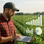


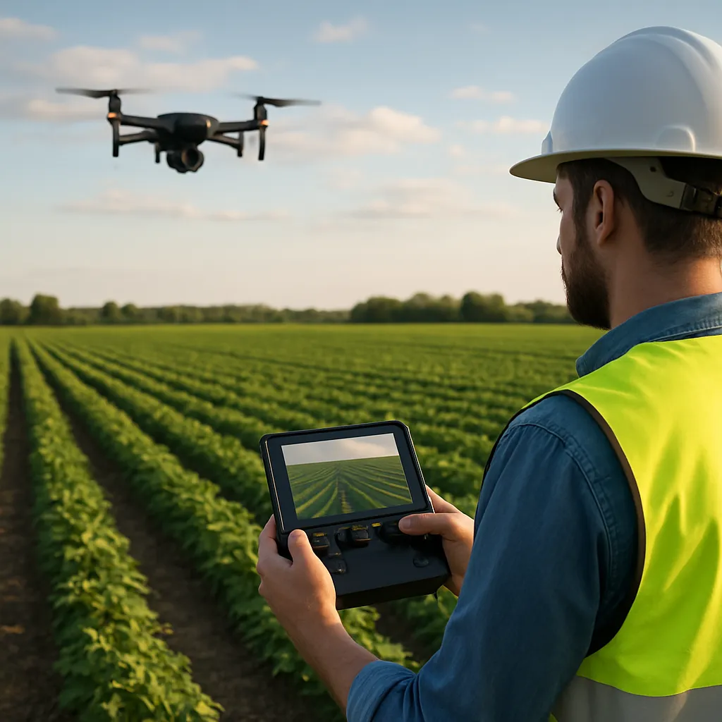
The integration of advanced drone platforms into modern farming has reshaped the landscape of **remote** agricultural practices. By pairing high-resolution imaging sensors with sophisticated **data analytics**, farmers now harness unprecedented levels of **precision** and accuracy. This synergy empowers cultivators to track soil moisture, assess **crop** health, and react to environmental stressors far more swiftly than ever before. As a result, the concept of traditional field inspections is giving way to a dynamic, technology-driven model that emphasizes real-time decision making and extraordinary **efficiency** gains.
Revolutionizing Crop Surveillance with Advanced Drone Fleets
Unmanned Aerial Vehicles in Precision Farming
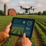
One of the most transformative innovations in **agriculture** is the deployment of unmanned aerial vehicles (UAVs), commonly referred to as **drones**. Equipped with multispectral, thermal, and RGB cameras, these compact aircraft can scan hundreds of acres in a single flight. Rather than relying on manual spot checks or ground-based vehicles, growers receive a comprehensive aerial view that reveals subtle variations in plant vigor, pest infestations, and irrigation issues.
Key Capabilities of Modern Drone Systems
- High-Resolution Imaging for detecting early signs of disease or nutrient deficiencies
- Thermal Sensors to monitor plant transpiration and soil moisture levels
- GPS-Enabled Mapping for precise georeferenced data collection
- Automated Flight Path Planning to cover large fields with consistent overlap
By integrating these capabilities, farmers can generate layered, geospatial maps that highlight zones of concern. These maps serve as the foundation for targeted interventions, reducing the need for blanket applications of fertilizers or pesticides. The outcome is not only cost savings but also a significant reduction in the environmental footprint associated with chemical use.
Enhancing Data-Driven Decisions through Real-Time Analytics
Beyond mere image capture, the true power of drone monitoring lies in advanced **analytics**. After each flight, raw data is transmitted to cloud-based platforms where machine learning algorithms sift through terabytes of information. This processing yields actionable **insights** within minutes, enabling agronomists to interpret trends and anomalies with unparalleled clarity.
From Raw Imagery to Actionable Intelligence
Data pipelines ingest multispectral bands to calculate vegetation indices such as NDVI (Normalized Difference Vegetation Index) and GNDVI (Green NDVI). When combined with historical weather records, soil composition data, and growth stage models, these indices provide a holistic picture of plant health. Farmers can then prioritize zones that require watering, fertilization, or pest control, ensuring that resources are allocated where they deliver the highest return on investment.
Leveraging Predictive Models for Yield Optimization
- Machine learning frameworks forecast yield potential based on current growth patterns
- Trend analysis anticipates pest or disease outbreaks before symptoms become widespread
- Decision support systems recommend precise input rates for **maximum** productivity
By harnessing real-time analytics, growers transcend reactive management and embrace proactive stewardship. Early warnings about nutrient imbalances or irrigation deficiencies reduce crop stress and mitigate the risk of irreversible damage. In effect, drone-enabled monitoring transforms sprawling fields into well-orchestrated production units guided by data-driven intelligence.
Promoting Sustainable Practices and Resource Efficiency
Sustainability has become a core objective in modern farming, and drone-based **monitoring** plays a pivotal role in achieving this goal. Precision interventions minimize the overuse of water, fertilizers, and agrochemicals, aligning with global efforts to preserve ecosystems and reduce **carbon** emissions. By applying inputs only where necessary, farmers curb runoff pollution and maintain soil health over the long term.
Water Management and Irrigation Optimization
Thermal imaging cameras mounted on drones can detect temperature differentials across the field surface. These gradients indicate variations in soil moisture and plant evapotranspiration rates. With this information, irrigation systems can be fine-tuned to deliver water in a targeted fashion—eliminating both water stress and wastage. The result is a significant reduction in water consumption, especially crucial in drought-prone regions.
Precision Nutrient Application
Through variable rate technology (VRT), fertilization regimes can be digitally mapped and executed with **pinpoint** accuracy. Drone-collected nutrient deficiency maps guide VRT-enabled spreaders to apply the exact amount of fertilizer required for each zone. This precision not only optimizes yields but also lessens the environmental impact of nutrient leaching into waterways.
Future Perspectives in Autonomous Agricultural Monitoring
Innovation in drone technology shows no signs of slowing down. As battery energy densities improve and AI algorithms become more sophisticated, future systems will be capable of fully autonomous operations—from pre-flight planning to post-flight **data** interpretation. Swarm robotics may enable fleets of synchronized drones to cover vast estates in record time, while edge computing solutions could deliver insights directly on the aircraft, reducing latency.
Integration with IoT and Sensor Networks
Beyond aerial platforms, ground-based sensors measuring soil moisture, temperature, and nutrient content create a mesh of Internet of Things (IoT) devices. When paired with aerial monitoring, this network offers a 360-degree perspective on field conditions. Data fusion from both sources strengthens predictive models and enhances the resilience of farming systems against extreme weather events and market fluctuations.
Advancements in Drone-Assisted Crop Treatment
Emerging applications include drone-mounted sprayers capable of delivering biological controls, such as beneficial insects or microbial inoculants, precisely where they’re most effective. This method reduces reliance on synthetic chemicals and promotes biodiversity within agricultural landscapes. Additionally, targeted pollination assistance via pollen dispersal drones is under exploration, highlighting the expanding role of UAVs in ecosystem services.
As the agricultural sector embraces these cutting-edge tools, the synergy between robotics, AI, and sustainable practices will drive a new era of **yield** growth and environmental stewardship. Farmers adopting drone-based remote field monitoring stand to gain a competitive edge, ensuring food security and profitability while conserving precious natural resources.